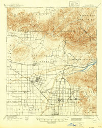
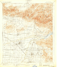
1901 Map of Anaheim
USGS Topo · Published 1944About this map
The Santa Ana River carves through this Southern California landscape at the turn of the century, serving as the vital lifeline for a burgeoning citrus and agricultural empire. The map reveals the early irrigation infrastructure critical to the region's development, notably the Anaheim and Santa Ana Canal and several smaller canal networks branching off near Yorba. The surveyor E.G. Hamilton revised the cultural features just as the rail-and-river economy was maturing, showing a dense grid of developing townsites like Anaheim, Orange, and Fullerton linked by the Southern California R. R. and the Southern Pacific R. R.
Find a feature on this map
49 named features on this map. Tap any name to fly to it.
Don’t see what you’re looking for? This feature index may not catch every label — zoom into the map to look around manually.
Map Details
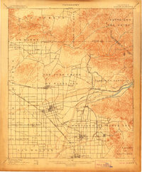
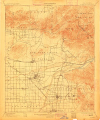
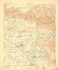
Editions of this 1901 Anaheim Map
6 editions found

Other maps of this area

1894 · Los Angeles
USGS Topo · 1:62,500

1894 · Pomona
USGS Topo · 1:62,500

1896 · Santa Ana
USGS Topo · 1:62,500

1896 · Pasadena
USGS Topo · 1:62,500

1896 · Anaheim
USGS Topo · 1:62,500

1896 · Las Bolsas
USGS Topo · 1:62,500

1896 · Downey
USGS Topo · 1:62,500

1897 · Pomona
USGS Topo · 1:62,500

1897 · Cucamonga
USGS Topo · 1:62,500

1898 · Pomona
USGS Topo · 1:62,500