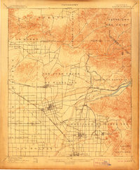
1901 Map of Anaheim
USGS Topo · Published 1906About this map
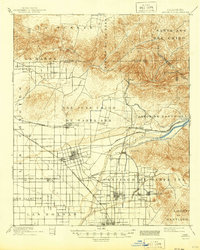
The agricultural landscape of early Orange County is meticulously detailed here, showing a region defined by citrus groves and a complex network of irrigation and rail infrastructure. Central to this growth is the Santa Ana River, which feeds the critical Anaheim, Orange and Santa Ana Canal to support the burgeoning orchard economy. The map captures the distinct grid layouts of established towns like Anaheim, Orange, and Fullerton, alongside smaller stops and junctions such as Brookhurst, Loara, and Miraflores.
Find a feature on this map
50 named features on this map. Tap any name to fly to it.
Don’t see what you’re looking for? This feature index may not catch every label — zoom into the map to look around manually.
Map Details
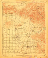
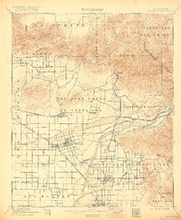
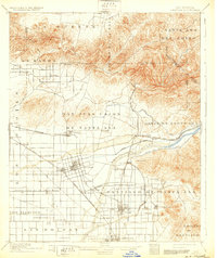
Editions of this 1901 Anaheim Map
6 editions found

Other maps of this area

1894 · Los Angeles
USGS Topo · 1:62,500

1894 · Pomona
USGS Topo · 1:62,500

1896 · Santa Ana
USGS Topo · 1:62,500

1896 · Pasadena
USGS Topo · 1:62,500

1896 · Anaheim
USGS Topo · 1:62,500

1896 · Las Bolsas
USGS Topo · 1:62,500

1896 · Downey
USGS Topo · 1:62,500

1897 · Pomona
USGS Topo · 1:62,500

1897 · Cucamonga
USGS Topo · 1:62,500

1898 · Pomona
USGS Topo · 1:62,500