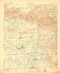
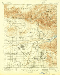
1901 Map of Anaheim
USGS Topo · Published 1922About this map
Agricultural development and early townsite planning define this region at the turn of the century. The Santa Ana River provides the lifeblood for the citrus and walnut groves that are rapidly transforming the landscape, supported by an intricate irrigation system including the Anaheim California Canal and the Santa Ana Canal. The settlement pattern is anchored by growing rail hubs like Anaheim, Fullerton, and Orange, which are already interconnected by the Southern California and S. P. R. R. lines. Farther north, the foothills near Olinda and the Rincon de la Brea offer a stark contrast to the surveyed grid of the plains. This landscape reflects a transition from ranching to an intensive citrus-based economy, with numerous small stations like Almond and Miraflores serving as vital shipping points for local growers.
Find a feature on this map
55 named features on this map. Tap any name to fly to it.
Don’t see what you’re looking for? This feature index may not catch every label — zoom into the map to look around manually.
Map Details
Editions of this 1901 Anaheim Map
6 editions found

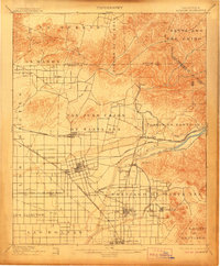
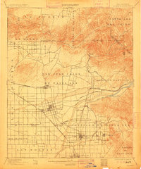
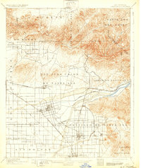
Other maps of this area

1894 · Los Angeles
USGS Topo · 1:62,500

1894 · Pomona
USGS Topo · 1:62,500

1896 · Santa Ana
USGS Topo · 1:62,500

1896 · Pasadena
USGS Topo · 1:62,500

1896 · Anaheim
USGS Topo · 1:62,500

1896 · Las Bolsas
USGS Topo · 1:62,500

1896 · Downey
USGS Topo · 1:62,500

1897 · Pomona
USGS Topo · 1:62,500

1897 · Cucamonga
USGS Topo · 1:62,500

1898 · Pomona
USGS Topo · 1:62,500