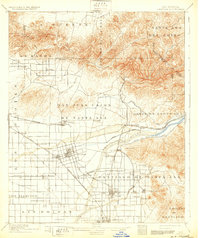
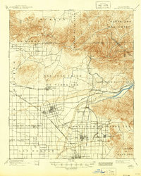
1901 Map of Anaheim
USGS Topo · Published 1932About this map
Anaheim and the surrounding citrus and agricultural lands of Orange County appear here at the turn of the century, just as the regional rail network was cementing its influence on local development. The landscape is defined by vast ranchos and land grants such as San Juan Cajon de Santa Ana and Santiago de Santa Ana, which are intersected by the Southern California and Southern Pacific R. R. lines.
Find a feature on this map
53 named features on this map. Tap any name to fly to it.
Don’t see what you’re looking for? This feature index may not catch every label — zoom into the map to look around manually.
Map Details
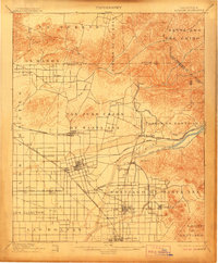
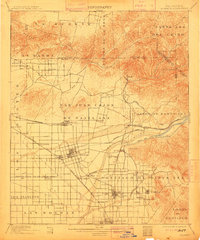
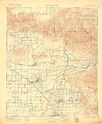
Editions of this 1901 Anaheim Map
6 editions found

Other maps of this area

1894 · Los Angeles
USGS Topo · 1:62,500

1894 · Pomona
USGS Topo · 1:62,500

1896 · Santa Ana
USGS Topo · 1:62,500

1896 · Pasadena
USGS Topo · 1:62,500

1896 · Anaheim
USGS Topo · 1:62,500

1896 · Las Bolsas
USGS Topo · 1:62,500

1896 · Downey
USGS Topo · 1:62,500

1897 · Pomona
USGS Topo · 1:62,500

1897 · Cucamonga
USGS Topo · 1:62,500

1898 · Pomona
USGS Topo · 1:62,500