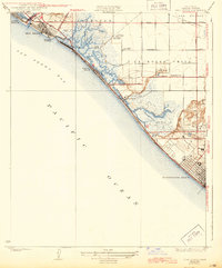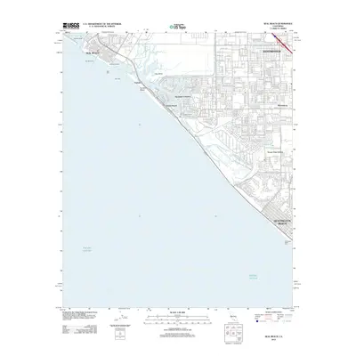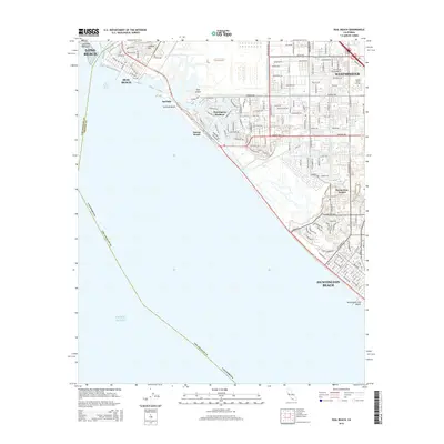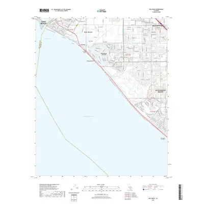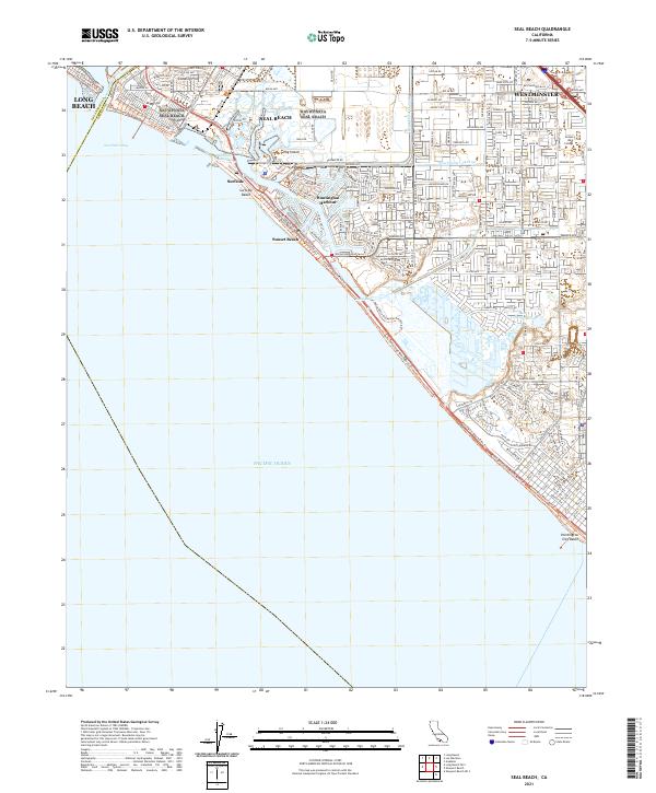
1974 Map of Seal Beach
USGS Topo · Published 1977About this map
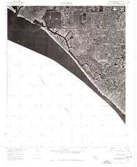
Seal Beach and the northwestern edge of Huntington Beach occupy a shifting coastal landscape in this 1974 orthophotoquad. Produced by the Geological Survey and the Orange County Board of Supervisors, this overhead study reveals the intense residential and industrial development defining the Southern California shoreline during the mid-1970s. The imagery highlights the complex geometry of man-made waterways and harbor infrastructure along the coast, contrasting sharply with the remaining marshlands and open spaces. The vast expanse of the Pacific Ocean dominates the lower half of the sheet, illustrating how these coastal communities were physically constrained and shaped by the sea. This aerial perspective provides researchers with a precise visual record of urban density, street layouts, and land use before subsequent decades of further coastal infill and redevelopment changed the character of these beach cities.
Find a feature on this map
3 named features on this map. Tap any name to fly to it.
Don’t see what you’re looking for? This feature index may not catch every label — zoom into the map to look around manually.
Map Details
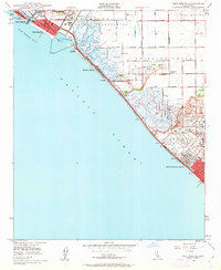
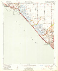
Editions of this 1974 Seal Beach Map
This is the sole edition of this map. No revisions or reprints were ever made.
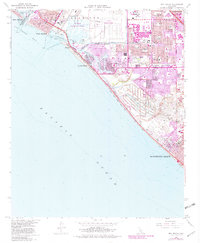
Historical Maps of Long Beach Through Time
9 maps found