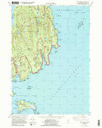
1983 Map of Seal Harbor
USGS Topo · Published 1983About this map
Acadia National Park dominates this coastal survey, where the granite ridges of Cadillac Mountain and Pemetic Mountain overlook a complex shoreline of coves and islands. The settlement of Seal Harbor serves as a gateway to the park's interior, while the Cranberry Isles to the south, including the village of Islesford on Little Cranberry Island, illustrate the maritime orientation of this portion of Hancock County in the early 1980s.
Find a feature on this map
89 named features on this map. Tap any name to fly to it.
Don’t see what you’re looking for? This feature index may not catch every label — zoom into the map to look around manually.
Map Details
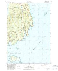
Editions of this 1983 Seal Harbor Map
2 editions found
Other maps of this area

1904 · Mount Desert
USGS Topo · 1:62,500

1904 · Swan Island
USGS Topo · 1:62,500

1904 · Bar Harbor
USGS Topo · 1:62,500

1942 · Bar Harbor
USGS Topo · 1:62,500

1942 · Mount Desert
USGS Topo · 1:62,500

1943 · Swans Island
USGS Topo · 1:62,500

1945 · Swans Island
USGS Topo · 1:62,500

1948 · Bangor
USGS Topo · 1:250,000

1956 · Bar Harbor
USGS Topo · 1:62,500

1956 · Mount Desert
USGS Topo · 1:62,500