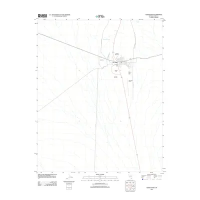
2012 Map of Searchlight
USGS Topo · Published 2012About this map
Searchlight serves as the central hub for this desert landscape, where the intersection of modern infrastructure and traditional high-desert features is evident. The town site is flanked by the distinct elevations of Doherty Mountain and Duplex Hill, marking a topography defined by arroyos and desert washes. The map records a shift in nomenclature and civil presence with both the Searchlight Post Office and the Quartette Post Office appearing near the town center.
Find a feature on this map
14 named features on this map. Tap any name to fly to it.
Don’t see what you’re looking for? This feature index may not catch every label — zoom into the map to look around manually.
Map Details
Editions of this 2012 Searchlight Map
This is the sole edition of this map. No revisions or reprints were ever made.
Other maps of this area

1886 · Camp Mohave
USGS Topo · 1:250,000

1892 · Camp Mohave
USGS Topo · 1:250,000

1910 · Ivanpah
USGS Topo · 1:250,000

1912 · Ivanpah
USGS Topo · 1:250,000

1926 · Nelson
USGS Topo · 1:96,000

1926 · Mohave City
USGS Topo · 1:96,000

1942 · Camp Mohave
USGS Topo · 1:250,000

1942 · Ivanpah
USGS Topo · 1:250,000

1947 · Kingman
USGS Topo · 1:250,000

1948 · Kingman
USGS Topo · 1:250,000