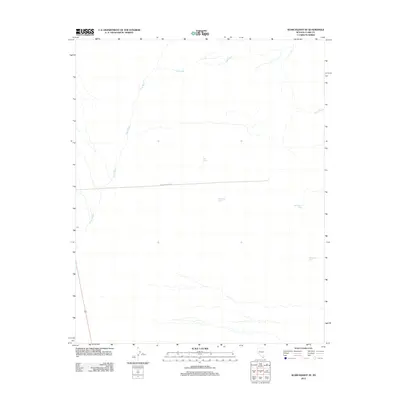
2012 Map of Searchlight SE
USGS Topo · Published 2012About this map
Piute Wash dominates this arid landscape of southern Clark County, tracking through the desert toward the southeast. This 2012 survey documents a quiet expanse defined by sparse water sources and a singular piece of modern infrastructure: Loran Station Rd. The presence of several named springs, including Old Roman Spring and Battle Axe Spring, suggests the critical importance of these water points for livestock or local travel in an otherwise dry basin. To the northeast, the terrain is marked by the drainage of Nellis Wash, while Yellowstone Spring and New Spring appear as localized landmarks. The map illustrates a transitional desert environment where the natural drainage patterns of Piute Wash dictate the movement and utility of the land.
Find a feature on this map
7 named features on this map. Tap any name to fly to it.
Don’t see what you’re looking for? This feature index may not catch every label — zoom into the map to look around manually.
Map Details
Editions of this 2012 Searchlight SE Map
This is the sole edition of this map. No revisions or reprints were ever made.
Other maps of this area

1886 · Camp Mohave
USGS Topo · 1:250,000

1892 · Camp Mohave
USGS Topo · 1:250,000

1926 · Mohave City
USGS Topo · 1:96,000

1942 · Camp Mohave
USGS Topo · 1:250,000

1947 · Kingman
USGS Topo · 1:250,000

1948 · Kingman
USGS Topo · 1:250,000

1950 · Davis Dam
USGS Topo · 1:62,500

1952 · Davis Dam
USGS Topo · 1:62,500

1954 · Kingman
USGS Topo · 1:250,000

1955 · Kingman
USGS Topo · 1:250,000