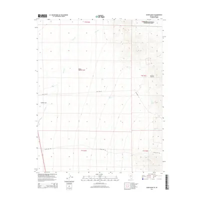
2014 Map of Searchlight SE
USGS Topo · Published 2014About this map
Cal-Nev-Ari serves as the primary settlement within this desert corridor, situated along the western edge of the Mojave Desert. The landscape is defined by the transition from the broad, sandy drainage of Piute Wash to the dramatic elevations of the Newberry Mountains in the east. This 2014 survey documents a critical junction of modern infrastructure and natural preserves, where Loran Station Rd cuts across the arid plains toward the Lake Mead National Recreation Area.
Find a feature on this map
18 named features on this map. Tap any name to fly to it.
Don’t see what you’re looking for? This feature index may not catch every label — zoom into the map to look around manually.
Map Details
Editions of this 2014 Searchlight SE Map
This is the sole edition of this map. No revisions or reprints were ever made.
Other maps of this area

1886 · Camp Mohave
USGS Topo · 1:250,000

1892 · Camp Mohave
USGS Topo · 1:250,000

1926 · Mohave City
USGS Topo · 1:96,000

1942 · Camp Mohave
USGS Topo · 1:250,000

1947 · Kingman
USGS Topo · 1:250,000

1948 · Kingman
USGS Topo · 1:250,000

1950 · Davis Dam
USGS Topo · 1:62,500

1952 · Davis Dam
USGS Topo · 1:62,500

1954 · Kingman
USGS Topo · 1:250,000

1955 · Kingman
USGS Topo · 1:250,000