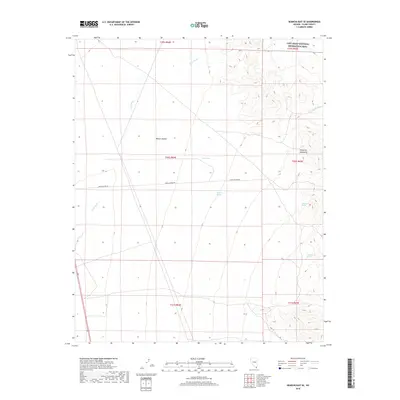
2018 Map of Searchlight SE
USGS Topo · Published 2018About this map
The Newberry Mountains rise sharply in the eastern portion of this landscape, marking a stark transition from the broad expanse of the Mojave Desert to the west. This arid Clark County terrain is defined by a complex drainage system, where the significant Piute Wash and Nellis Wash slice through the desert floor. Water, though scarce, is anchored by several named sources such as Battle Axe Spring, Old Roman Spring, and Yellowstone Spring, which serve as vital landmarks in the high-heat environment. Human infrastructure is minimal, centered primarily on Loran Station Rd, which provides access across the central sections. The northeastern corner contains a portion of the Lake Mead National Recreation Area, protecting the intersection of these mountain ranges and washes.
Find a feature on this map
16 named features on this map. Tap any name to fly to it.
Don’t see what you’re looking for? This feature index may not catch every label — zoom into the map to look around manually.
Map Details
Editions of this 2018 Searchlight SE Map
This is the sole edition of this map. No revisions or reprints were ever made.
Other maps of this area

1886 · Camp Mohave
USGS Topo · 1:250,000

1892 · Camp Mohave
USGS Topo · 1:250,000

1926 · Mohave City
USGS Topo · 1:96,000

1942 · Camp Mohave
USGS Topo · 1:250,000

1947 · Kingman
USGS Topo · 1:250,000

1948 · Kingman
USGS Topo · 1:250,000

1950 · Davis Dam
USGS Topo · 1:62,500

1952 · Davis Dam
USGS Topo · 1:62,500

1954 · Kingman
USGS Topo · 1:250,000

1955 · Kingman
USGS Topo · 1:250,000