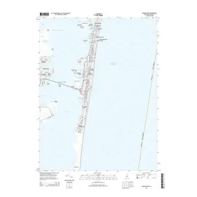
2014 Map of Seaside Park
USGS Topo · Published 2014About this map
Barnegat Bay separates the mainland settlements of Toms River and Windor Park from the narrow barrier peninsula of the Jersey Shore. This 2014 survey captures the dense residential grid of the coast, spanning from Silver Beach in the north down to the edge of Island Beach. The landscape is defined by the heavy infrastructure required to connect these beach communities to the mainland, most notably via the Thomas A Mathis Bridge and J Stanley Tunney Bridge which touch down near Pelican Island.
Find a feature on this map
49 named features on this map. Tap any name to fly to it.
Don’t see what you’re looking for? This feature index may not catch every label — zoom into the map to look around manually.
Map Details
Editions of this 2014 Seaside Park Map
This is the sole edition of this map. No revisions or reprints were ever made.
Other maps of this area

1888 · Barnegat
USGS Topo · 1:62,500

1888 · Asbury Park
USGS Topo · 1:62,500

1893 · Asbury Park
USGS Topo · 1:62,500

1893 · Barnegat
USGS Topo · 1:62,500

1898 · Barnegat
USGS Topo · 1:62,500

1901 · Asbury Park
USGS Topo · 1:62,500

1902 · Navesink
USGS Topo · 1:125,000

1919 · Barnegat
USGS Topo · 1:62,500

1919 · Asbury Park
USGS Topo · 1:62,500

1941 · Toms River
USGS Topo · 1:62,500