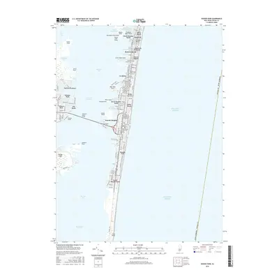
2016 Map of Seaside Park
USGS Topo · Published 2016About this map
Barnegat Bay separates the mainland from the dense shoreline developments of the Barnegat Peninsula, where a continuous string of coastal communities like Lavallette, Seaside Heights, and Seaside Park occupy the narrow strip between the bay and the Atlantic Ocean. This survey captures the intricate network of residential streets and shorefront blocks that define the region's mid-2010s character. The Thomas A Mathis Bridge provides the primary artery for travel, crossing Pelican Island to connect the mainland near Coates Point to the heart of the beach towns.
Find a feature on this map
47 named features on this map. Tap any name to fly to it.
Don’t see what you’re looking for? This feature index may not catch every label — zoom into the map to look around manually.
Map Details
Editions of this 2016 Seaside Park Map
This is the sole edition of this map. No revisions or reprints were ever made.
Other maps of this area

1888 · Barnegat
USGS Topo · 1:62,500

1888 · Asbury Park
USGS Topo · 1:62,500

1893 · Asbury Park
USGS Topo · 1:62,500

1893 · Barnegat
USGS Topo · 1:62,500

1898 · Barnegat
USGS Topo · 1:62,500

1901 · Asbury Park
USGS Topo · 1:62,500

1902 · Navesink
USGS Topo · 1:125,000

1919 · Barnegat
USGS Topo · 1:62,500

1919 · Asbury Park
USGS Topo · 1:62,500

1941 · Toms River
USGS Topo · 1:62,500