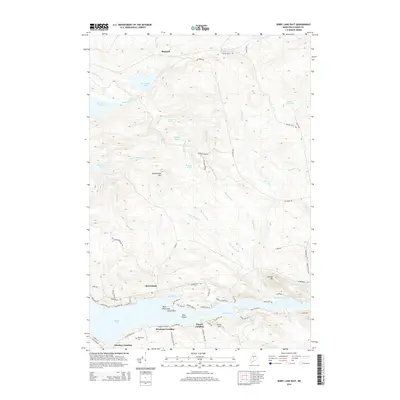
2014 Map of Sebec Lake East
USGS Topo · Published 2014About this map
Bowerbank and Barnard anchor this portion of Piscataquis County, where the transition from dense forest to the northern shores of Sebec Lake defines the local geography. The shoreline is marked by several historical access points, including Greeleys Landing, Steadman Landing, and Parson Landing, reflecting the area's long-standing connection to the water. In the interior, the landscape is dotted with numerous small bodies of water and wetlands, such as Buttermilk Pond, Lamont Ponds, and Pudding Pond, which feed into a complex network of streams like Bear Brook and Mill Brook. Elevation changes are centered around Levansaller Hill and Crocket Hill, while the Bowerbank Cem provides a point of genealogical interest for those tracing early settlers in the region. The road network, including names like Dexter Mills Rd and Back Neighborhood Rd, suggests a history of local industry and rural community life.
Find a feature on this map
81 named features on this map. Tap any name to fly to it.
Don’t see what you’re looking for? This feature index may not catch every label — zoom into the map to look around manually.
Map Details
Editions of this 2014 Sebec Lake East Map
This is the sole edition of this map. No revisions or reprints were ever made.
Other maps of this area

1932 · Dover-Foxcroft
USGS Topo · 1:48,000

1933 · Guilford
USGS Topo · 1:62,500

1935 · Dover-Foxcroft
USGS Topo · 1:62,500

1937 · Guilford
USGS Topo · 1:62,500

1940 · Sebec
USGS Topo · 1:48,000

1943 · Sebec
USGS Topo · 1:62,500

1950 · Sebec Lake
USGS Topo · 1:62,500

1954 · Millinocket
USGS Topo · 1:250,000

1958 · Millinocket
USGS Topo · 1:250,000

1960 · Millinocket
USGS Topo · 1:250,000