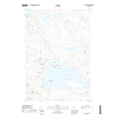
2018 Map of Sebec Lake West
USGS Topo · Published 2018About this map
Sebec Lake dominates this landscape in the Maine woods, where the western shorelines of The Narrows and South Cove meet the high ground of the Central Highlands. The settlement of Onawa sits at the northwestern edge near the shores of Lake Onawa, while Benson occupies the northern timberlands. This 2018 survey reveals a topography of sharp elevation changes, from the heights of Ragged Mtn and Granite Mtn down to the complex network of ponds and bogs.
Find a feature on this map
73 named features on this map. Tap any name to fly to it.
Don’t see what you’re looking for? This feature index may not catch every label — zoom into the map to look around manually.
Map Details
Editions of this 2018 Sebec Lake West Map
This is the sole edition of this map. No revisions or reprints were ever made.
Other maps of this area

1932 · Dover-Foxcroft
USGS Topo · 1:48,000

1933 · Guilford
USGS Topo · 1:62,500

1935 · Dover-Foxcroft
USGS Topo · 1:62,500

1937 · Guilford
USGS Topo · 1:62,500

1940 · Sebec
USGS Topo · 1:48,000

1943 · Sebec
USGS Topo · 1:62,500

1950 · Sebec Lake
USGS Topo · 1:62,500

1954 · Millinocket
USGS Topo · 1:250,000

1958 · Millinocket
USGS Topo · 1:250,000

1960 · Millinocket
USGS Topo · 1:250,000