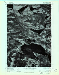
1978 Map of Sebec Lake West
USGS Topo · Published 1981About this map
Sebec Lake dominates the southern landscape of this 1978 orthophotograph, a period when the timberlands of Piscataquis County were captured via high-altitude aerial survey. The settlement of Onawa sits at the northern edge near Lake Onawa, connected to the southern waters by the winding course of Ship Pond Stream. This unique photographic record provides a clear view of the dense forest canopy and natural drainage patterns of the Maine woods before significant modern development. The imagery reveals the varied shoreline of First Buttermilk and the confluence where Big Wilson Stream meets the western reach of Sebec, offering a detailed look at the land's texture and water levels as they existed in the late 1970s.
Find a feature on this map
7 named features on this map. Tap any name to fly to it.
Don’t see what you’re looking for? This feature index may not catch every label — zoom into the map to look around manually.
Map Details
Editions of this 1978 Sebec Lake West Map
This is the sole edition of this map. No revisions or reprints were ever made.
Other maps of this area

1932 · Dover-Foxcroft
USGS Topo · 1:48,000

1933 · Guilford
USGS Topo · 1:62,500

1935 · Dover-Foxcroft
USGS Topo · 1:62,500

1937 · Guilford
USGS Topo · 1:62,500

1940 · Sebec
USGS Topo · 1:48,000

1943 · Sebec
USGS Topo · 1:62,500

1950 · Sebec Lake
USGS Topo · 1:62,500

1954 · Millinocket
USGS Topo · 1:250,000

1958 · Millinocket
USGS Topo · 1:250,000

1960 · Millinocket
USGS Topo · 1:250,000