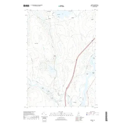
2018 Map of Seboeis
USGS Topo · Published 2018About this map
The confluence of the Piscataquis River and the Penobscot River defines the southern portion of this landscape, near the settlement of Howland. The water system is dense with named islands, including Lowell Island, Doe Island, and Big Island, while further north the Penobscot River contains Gordon Island and Beatham Island. A large Dam is noted at the southern edge of the survey near the mouth of the Piscataquis.
Find a feature on this map
50 named features on this map. Tap any name to fly to it.
Don’t see what you’re looking for? This feature index may not catch every label — zoom into the map to look around manually.
Map Details
Editions of this 2018 Seboeis Map
This is the sole edition of this map. No revisions or reprints were ever made.
Other maps of this area

1917 · Passadumkeag
USGS Topo · 1:62,500

1933 · Boyd Lake
USGS Topo · 1:62,500

1942 · Lincoln
USGS Topo · 1:62,500

1947 · Schoodic
USGS Topo · 1:62,500

1949 · Schoodic
USGS Topo · 1:62,500

1951 · Boyd Lake
USGS Topo · 1:50,000

1954 · Millinocket
USGS Topo · 1:250,000

1955 · Boyd Lake
USGS Topo · 1:62,500

1957 · Lincoln
USGS Topo · 1:62,500

1958 · Millinocket
USGS Topo · 1:250,000