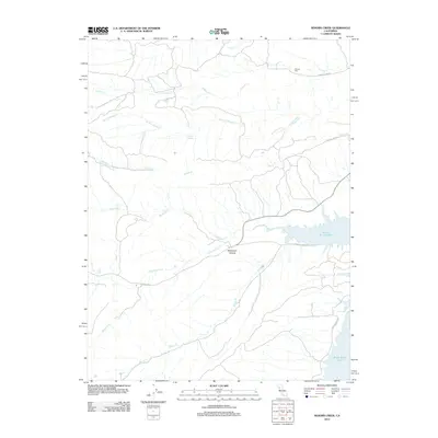
2012 Map of Sehorn Creek
USGS Topo · Published 2012About this map
Black Butte Lake dominates the eastern drainage of this Tehama County landscape, where the waters of N Fork Stony Cr flow through a region defined by seasonal creek beds and intermittent springs. The terrain is marked by significant hydrological features including Sehorn Cr, Kendrick Cr, and Burris Cr, which carve through the foothills toward the reservoir. Local history is anchored at the Elmore Cem in the northeast, situated near the headwaters of Elmore Cr and the winding path of Long Hollow Rd.
Find a feature on this map
16 named features on this map. Tap any name to fly to it.
Don’t see what you’re looking for? This feature index may not catch every label — zoom into the map to look around manually.
Map Details
Editions of this 2012 Sehorn Creek Map
This is the sole edition of this map. No revisions or reprints were ever made.
Other maps of this area

1904 · Walker Creek
USGS Topo · 1:31,680

1919 · Fruto
USGS Topo · 1:62,500

1919 · Elk Creek
USGS Topo · 1:62,500

1944 · Fruto
USGS Topo · 1:62,500

1944 · Flournoy
USGS Topo · 1:62,500

1948 · Elk Creek
USGS Topo · 1:62,500
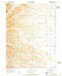
1952 · Fruto NE
USGS Topo · 1:24,000

1952 · Paskenta
USGS Topo · 1:62,500

1957 · Elk Creek
USGS Topo · 1:62,500

1957 · Ukiah
USGS Topo · 1:250,000