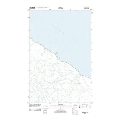
2011 Map of Sekiu River
USGS Topo · Published 2011About this map
Strait of Juan de Fuca shorelines and the rugged drainage of the Olympic Peninsula define this coastal survey. The landscape is dominated by the complex hydrology of the Sekiu River and its South Fork, which carve through deep timberlands. Of particular interest to local historians is the Crown Zellerbach Landing Area, a name tied to the regional logging industry’s infrastructure along the coast.
Find a feature on this map
13 named features on this map. Tap any name to fly to it.
Don’t see what you’re looking for? This feature index may not catch every label — zoom into the map to look around manually.
Map Details
Editions of this 2011 Sekiu River Map
This is the sole edition of this map. No revisions or reprints were ever made.
Other maps of this area

1935 · Clallam
USGS Topo · 1:62,500

1935 · Ozette Lake
USGS Topo · 1:62,500

1935 · Lake Pleasant
USGS Topo · 1:62,500

1938 · Cape Flattery
USGS Topo · 1:62,500

1942 · Clallam
USGS Topo · 1:62,500

1942 · Ozette Lake
USGS Topo · 1:62,500

1942 · Lake Pleasant
USGS Topo · 1:62,500

1953 · Cape Flattery
USGS Topo · 1:250,000

1956 · Ozette Lake
USGS Topo · 1:62,500

1957 · Lake Pleasant
USGS Topo · 1:62,500