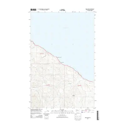
2014 Map of Sekiu River
USGS Topo · Published 2014About this map
The Strait of Juan de Fuca defines the northern coastline of this Olympic Peninsula landscape, where the saltwater meets a shore marked by Shipwreck Point and Chito Beach. Inland, the terrain rises sharply into the northern reaches of the Olympic Mountains, with a portion of the land protected within Olympic National Park. This 2014 survey documents the complex drainage system of the Sekiu River, including the N Fork Sekiu River and S Fork Sekiu River, alongside numerous small coastal tributaries like Rasmussen Cr and Jansen Cr. Transportation is limited to the coastal corridor of Wa-112 and the winding Sekiu River Rd, illustrating the persistence of a sparsely populated, river-carved wilderness area in Clallam County.
Find a feature on this map
18 named features on this map. Tap any name to fly to it.
Don’t see what you’re looking for? This feature index may not catch every label — zoom into the map to look around manually.
Map Details
Editions of this 2014 Sekiu River Map
This is the sole edition of this map. No revisions or reprints were ever made.
Other maps of this area

1935 · Clallam
USGS Topo · 1:62,500

1935 · Ozette Lake
USGS Topo · 1:62,500

1935 · Lake Pleasant
USGS Topo · 1:62,500

1938 · Cape Flattery
USGS Topo · 1:62,500

1942 · Clallam
USGS Topo · 1:62,500

1942 · Ozette Lake
USGS Topo · 1:62,500

1942 · Lake Pleasant
USGS Topo · 1:62,500

1953 · Cape Flattery
USGS Topo · 1:250,000

1956 · Ozette Lake
USGS Topo · 1:62,500

1957 · Lake Pleasant
USGS Topo · 1:62,500