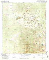
1982 Map of Selden Canyon NE
USGS Topo · Published 1982About this map
The Jornada Experimental Range dominates this landscape in southern New Mexico, representing a specialized agricultural research area managed by the USDA. This 1982 orthophotomap provides a clear view of the complex water management systems required for range management in the arid Chihuahuan Desert. The distribution of livestock watering points is extensive, featuring named sites like Fleming Tank, Cassady Tank, and Valentine Tank, which were essential for cattle operations across the flats.
Find a feature on this map
32 named features on this map. Tap any name to fly to it.
Don’t see what you’re looking for? This feature index may not catch every label — zoom into the map to look around manually.
Map Details
Editions of this 1982 Selden Canyon NE Map
This is the sole edition of this map. No revisions or reprints were ever made.
Other maps of this area

1916 · Tonuco
USGS Topo · 1:125,000

1932 · Tonuco
USGS Topo · 1:125,000

1948 · Chicken Well
USGS Topo · 1:62,500

1948 · Bear Peak
USGS Topo · 1:62,500

1948 · San Diego Mountain
USGS Topo · 1:62,500

1948 · Kaylor Mountain
USGS Topo · 1:62,500

1955 · Las Cruces
USGS Topo · 1:250,000

1958 · Las Cruces
USGS Topo · 1:250,000

1981 · Gilmore Draw
USGS Topo · 1:24,000
1981 · Fleck Draw
USGS Topo · 1:24,000