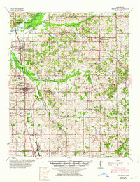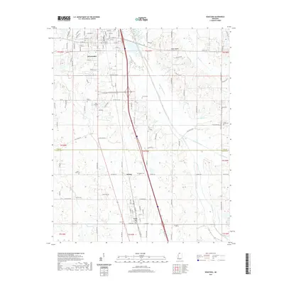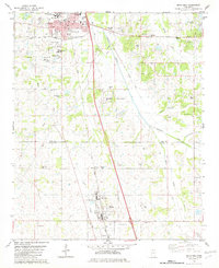
1982 Map of Senatobia
USGS Topo · Published 1982About this map
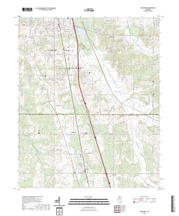
Senatobia and Como anchor this Northwest Mississippi landscape, which is split by the Tate Co Panola Co boundary and the active corridor of the Illinois Central Gulf railroad. The map illustrates a growing educational and civic infrastructure, from the Northwest Mississippi Junior College and Magnolia Heights Academy in the north to the North Panola Vocational Center near the southern edge. The terrain is defined by a dense network of waterways, including Senatobia Creek, Porter Creek, and Gravel Springs Creek, which carve through an area dotted with numerous small family and community burial grounds.
Find a feature on this map
45 named features on this map. Tap any name to fly to it.
Don’t see what you’re looking for? This feature index may not catch every label — zoom into the map to look around manually.
Map Details
Editions of this 1982 Senatobia Map
This is the sole edition of this map. No revisions or reprints were ever made.
Historical Maps of Senatobia Through Time
7 maps found