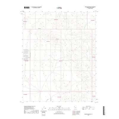
2018 Map of Senator Mountain
USGS Topo · Published 2018About this map
Senator Mtn rises above the arid expanse of the Mojave Desert in this high-resolution survey of Mohave County. The landscape is defined by its drainage patterns, with the wide tracks of the White Elephant Wash and Trail Rapids Wash carving through the desert floor. Water remains the primary shaper of human activity here, evidenced by landmarks like Eileen Spring and the South Senator Tank, which serve as vital water sources in an otherwise parched environment.
Find a feature on this map
27 named features on this map. Tap any name to fly to it.
Don’t see what you’re looking for? This feature index may not catch every label — zoom into the map to look around manually.
Map Details
Editions of this 2018 Senator Mountain Map
This is the sole edition of this map. No revisions or reprints were ever made.
Other maps of this area

1886 · Camp Mohave
USGS Topo · 1:250,000

1892 · Camp Mohave
USGS Topo · 1:250,000

1942 · Camp Mohave
USGS Topo · 1:250,000

1947 · Kingman
USGS Topo · 1:250,000

1948 · Kingman
USGS Topo · 1:250,000

1954 · Kingman
USGS Topo · 1:250,000

1955 · Kingman
USGS Topo · 1:250,000

1958 · Kingman
USGS Topo · 1:250,000

1960 · Kingman
USGS Topo · 1:250,000
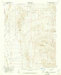
1960 · Senator Mountain
USGS Topo · 1:62,500