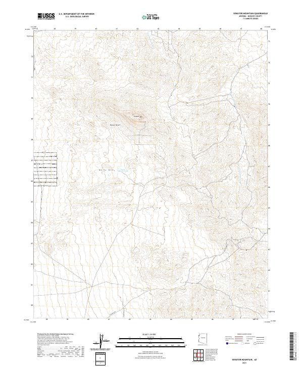
2021 Map of Senator Mountain
USGS Topo · Published 2021About this map
Senator Mtn rises as a prominent landmark within the northeastern reaches of the Mojave Desert in Mohave County. This high-desert landscape is defined by its drainage patterns, most notably Trail Rapids Wash and White Elephant Wash, which cut through the arid terrain. The map captures a transition in the White Hills region, where remote topography meets the edge of developing infrastructure. Modern access is represented by N Spear Blvd and Silver Eagle Dr, which push into the southern portion of the quadrangle. For those interested in the water management of the Arizona desert, the presence of South Senator Tank and Eileen Spring provides evidence of the vital, scattered water sources necessary for life and livestock in this environment.
Find a feature on this map
18 named features on this map. Tap any name to fly to it.
Don’t see what you’re looking for? This feature index may not catch every label — zoom into the map to look around manually.
Map Details
Editions of this 2021 Senator Mountain Map
This is the sole edition of this map. No revisions or reprints were ever made.
Other maps of this area

1886 · Camp Mohave
USGS Topo · 1:250,000

1892 · Camp Mohave
USGS Topo · 1:250,000

1942 · Camp Mohave
USGS Topo · 1:250,000

1947 · Kingman
USGS Topo · 1:250,000

1948 · Kingman
USGS Topo · 1:250,000

1954 · Kingman
USGS Topo · 1:250,000

1955 · Kingman
USGS Topo · 1:250,000

1958 · Kingman
USGS Topo · 1:250,000

1960 · Kingman
USGS Topo · 1:250,000
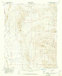
1960 · Senator Mountain
USGS Topo · 1:62,500