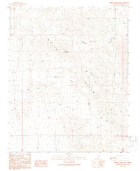
1989 Map of Senator Mountain
USGS Topo · Published 1990About this map
The White Hills of Mohave County define this high-desert landscape, dominated by the prominent peak of Senator Mountain. By the late twentieth century, this region remained a significant site for mineral exploration and extraction, as evidenced by a dense concentration of mining operations scattered across the arid terrain. Prospectors and mining engineers have left a physical legacy in the form of the Senator Mine, Owens Mine, and the Cyclopic Mine, along with numerous nameless prospects and an Open Pit Mine.
Find a feature on this map
25 named features on this map. Tap any name to fly to it.
Don’t see what you’re looking for? This feature index may not catch every label — zoom into the map to look around manually.
Map Details
Editions of this 1989 Senator Mountain Map
This is the sole edition of this map. No revisions or reprints were ever made.
Other maps of this area

1886 · Camp Mohave
USGS Topo · 1:250,000

1892 · Camp Mohave
USGS Topo · 1:250,000

1942 · Camp Mohave
USGS Topo · 1:250,000

1947 · Kingman
USGS Topo · 1:250,000

1948 · Kingman
USGS Topo · 1:250,000

1954 · Kingman
USGS Topo · 1:250,000

1955 · Kingman
USGS Topo · 1:250,000

1958 · Kingman
USGS Topo · 1:250,000

1960 · Kingman
USGS Topo · 1:250,000
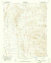
1960 · Senator Mountain
USGS Topo · 1:62,500