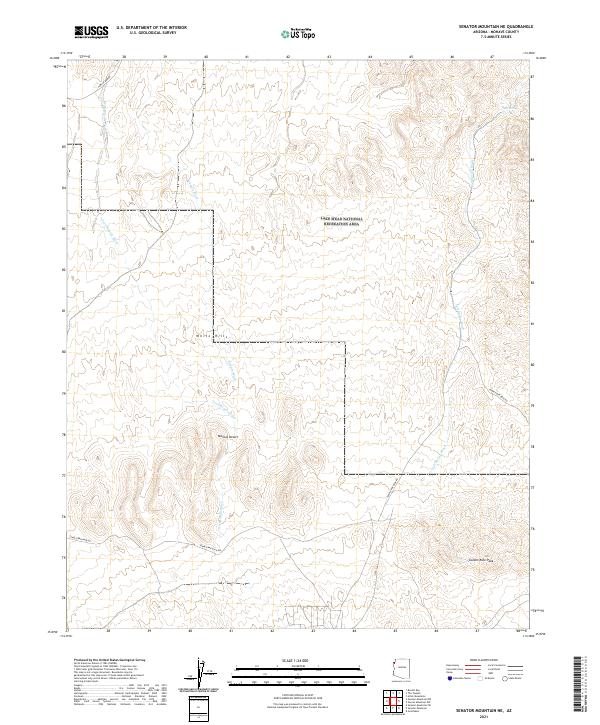
2021 Map of Senator Mountain NE
USGS Topo · Published 2021About this map
White Hills and the surrounding arid stretches of the Mojave Desert characterize this northern Arizona landscape. The terrain is defined by a network of drainage systems, including Trail Rapids Wash, Temple Wash, and Salt Spring Wash, which carve through the high desert toward the north. A significant portion of the area is contained within the Lake Mead National Recreation Area, reflecting a landscape managed for public use and conservation. To the southeast, Golden Rule Peak stands as a prominent landmark above the desert floor. The transport network consists largely of desert access routes such as Temple Bar Rd and Temple Bar Back Rd, which connect the interior washes to the broader region. This 2021 survey illustrates how the environment around Salt Spring remains dominated by natural topographical features rather than permanent settlements.
Find a feature on this map
16 named features on this map. Tap any name to fly to it.
Don’t see what you’re looking for? This feature index may not catch every label — zoom into the map to look around manually.
Map Details
Editions of this 2021 Senator Mountain NE Map
This is the sole edition of this map. No revisions or reprints were ever made.
Other maps of this area

1886 · Camp Mohave
USGS Topo · 1:250,000

1886 · Saint Thomas
USGS Topo · 1:250,000

1892 · Camp Mohave
USGS Topo · 1:250,000

1893 · Saint Thomas
USGS Topo · 1:250,000

1926 · Bonelli
USGS Topo · 1:96,000

1942 · Camp Mohave
USGS Topo · 1:250,000

1947 · Kingman
USGS Topo · 1:250,000

1948 · Kingman
USGS Topo · 1:250,000

1953 · Iceberg Canyon
USGS Topo · 1:62,500

1953 · Virgin Basin
USGS Topo · 1:62,500