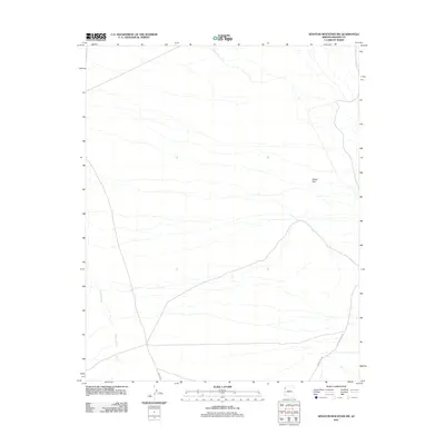
2011 Map of Senator Mountain SW
USGS Topo · Published 2011About this map
The White Hills landforms dominate this high-desert portion of Mohave County, where the dry channel of Detrital Wash cuts through the western terrain. This 2011 survey illustrates the subtle modern development occurring in this arid region, where local roads like Garden Rd and White Fox Dr provide access to remote residential parcels. The map provides a precise view of the drainage patterns and topographical relief characteristic of the Arizona desert. Geographic landmarks such as Hitching Post Dr trace the limited human footprint across this landscape, offering a record of rural land use and desert navigation in the early 21st century.
Find a feature on this map
5 named features on this map. Tap any name to fly to it.
Don’t see what you’re looking for? This feature index may not catch every label — zoom into the map to look around manually.
Map Details
Editions of this 2011 Senator Mountain SW Map
This is the sole edition of this map. No revisions or reprints were ever made.
Other maps of this area

1886 · Camp Mohave
USGS Topo · 1:250,000

1892 · Camp Mohave
USGS Topo · 1:250,000

1926 · Nelson
USGS Topo · 1:96,000

1942 · Camp Mohave
USGS Topo · 1:250,000

1947 · Kingman
USGS Topo · 1:250,000

1948 · Kingman
USGS Topo · 1:250,000

1954 · Kingman
USGS Topo · 1:250,000

1955 · Kingman
USGS Topo · 1:250,000

1958 · Kingman
USGS Topo · 1:250,000
1959 · Mt. Perkins
USGS Topo · 1:62,500