
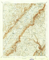
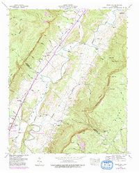
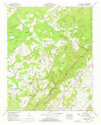
1909 Map of Sequatchie Valley
USGS Topo · Published 1955About this map
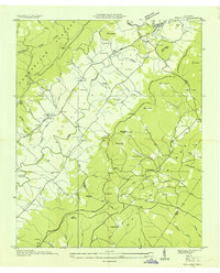
The Sequatchie River carves a deep, linear path through the heart of the Cumberland Plateau in this early twentieth-century survey. The landscape is defined by the steep escarpments that bound the valley, punctuated by named gaps and coves such as Swafford Cove and Beatty Gap. Settlement is concentrated along the river and at the base of the plateau, with Pikeville serving as a central hub along the Nashville Chattanooga and St Louis RR.
Find a feature on this map
99 named features on this map. Tap any name to fly to it.
Don’t see what you’re looking for? This feature index may not catch every label — zoom into the map to look around manually.
Map Details
Editions of this 1909 Sequatchie Valley Map
This is the sole edition of this map. No revisions or reprints were ever made.
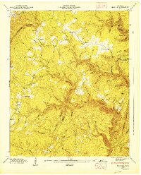
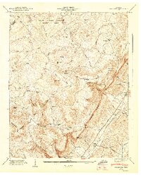
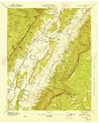
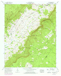
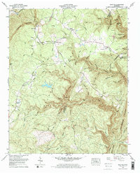
Historical Maps of Dayton Through Time
41 maps found
1909 Sequatchie Valley
Bledsoe County, TN
1910 Sequatchie Valley
Bledsoe County, TN
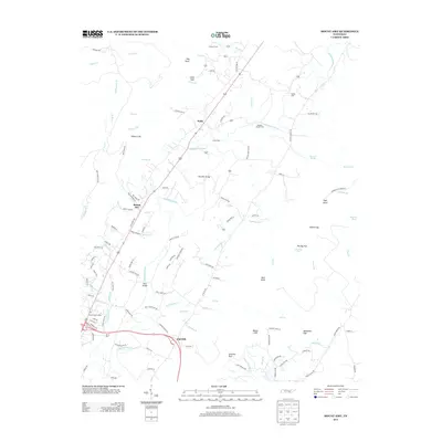
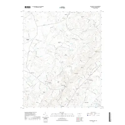
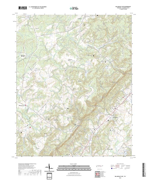
1935 Billingsley Gap
Bledsoe County, TN
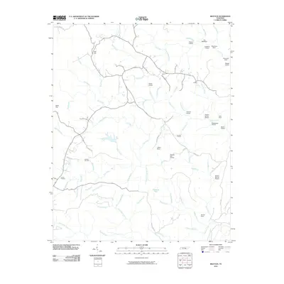
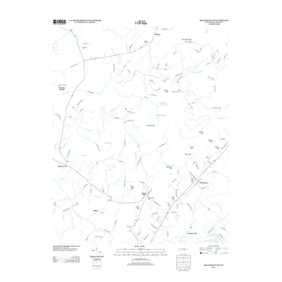
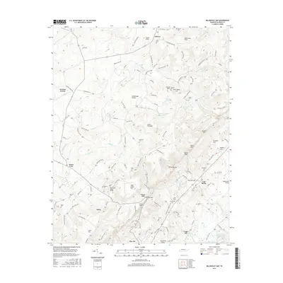
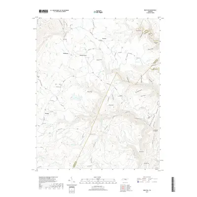
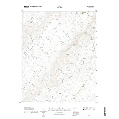
1935 Brayton
Bledsoe County, TN
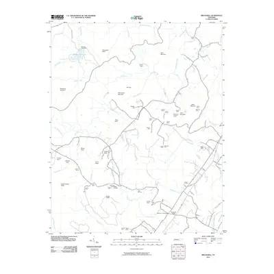
1935 Brockdell
Bledsoe County, TN
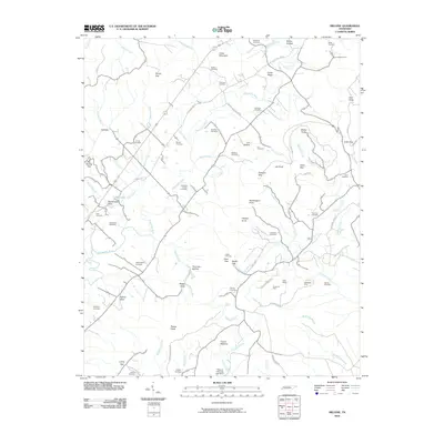
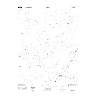
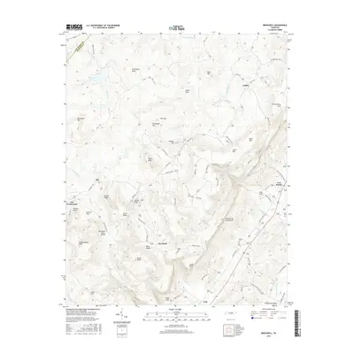
1935 Melvine
Bledsoe County, TN
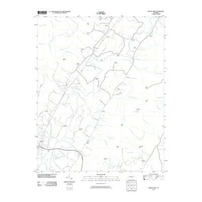
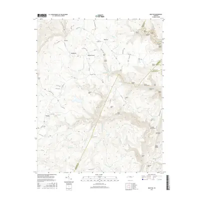
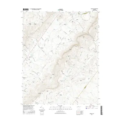
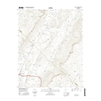
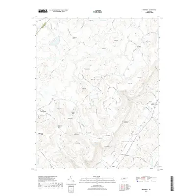
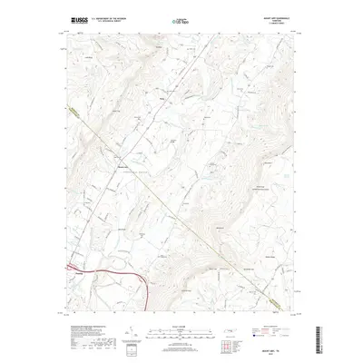
1935 Mount Airy
Bledsoe County, TN
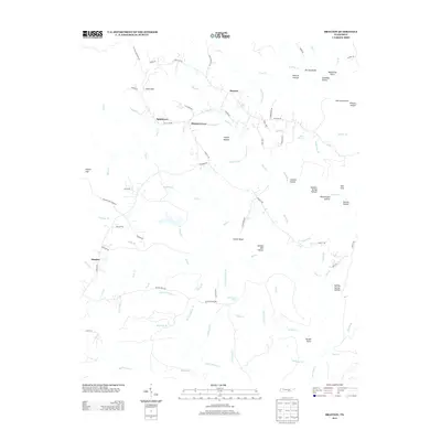
1946 Brayton
Bledsoe County, TN
1946 Brockdell
Bledsoe County, TN
1946 Mount Airy
Bledsoe County, TN
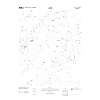
1947 Brayton
Bledsoe County, TN
1947 Brockdell
Bledsoe County, TN
1947 Mount Airy
Bledsoe County, TN
1956 Billingsley Gap
Bledsoe County, TN
1956 Melvine
Bledsoe County, TN
1972 Brayton
Bledsoe County, TN
2010 Billingsley Gap
Bledsoe County, TN
2010 Brayton
Bledsoe County, TN
2010 Brockdell
Bledsoe County, TN
2010 Melvine
Bledsoe County, TN
2010 Mount Airy
Bledsoe County, TN
2013 Billingsley Gap
Bledsoe County, TN
2013 Brayton
Bledsoe County, TN
2013 Brockdell
Bledsoe County, TN
2013 Melvine
Bledsoe County, TN
2013 Mount Airy
Bledsoe County, TN
2016 Billingsley Gap
Bledsoe County, TN
2016 Brayton
Bledsoe County, TN
2016 Brockdell
Bledsoe County, TN
2016 Melvine
Bledsoe County, TN
2016 Mount Airy
Bledsoe County, TN
2019 Billingsley Gap
Bledsoe County, TN
2019 Brayton
Bledsoe County, TN
2019 Brockdell
Bledsoe County, TN
2019 Melvine
Bledsoe County, TN
2019 Mount Airy
Bledsoe County, TN
2022 Billingsley Gap
Bledsoe County, TN
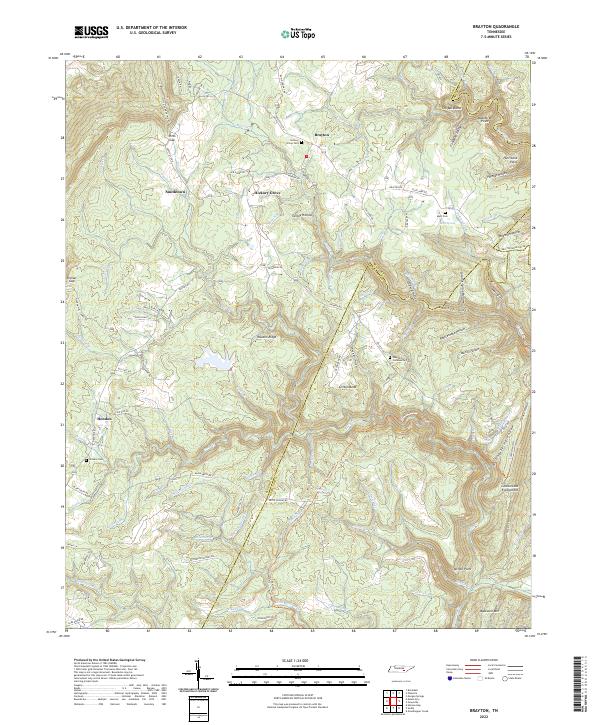
2022 Brayton
Bledsoe County, TN
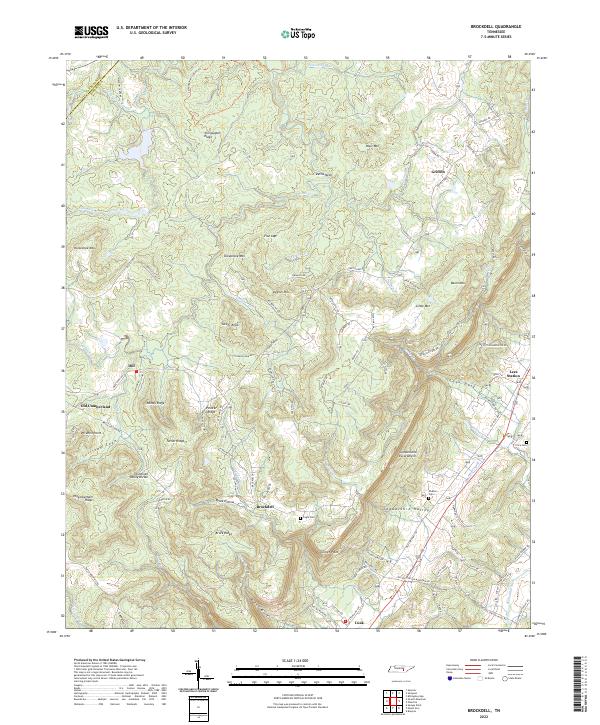
2022 Brockdell
Bledsoe County, TN
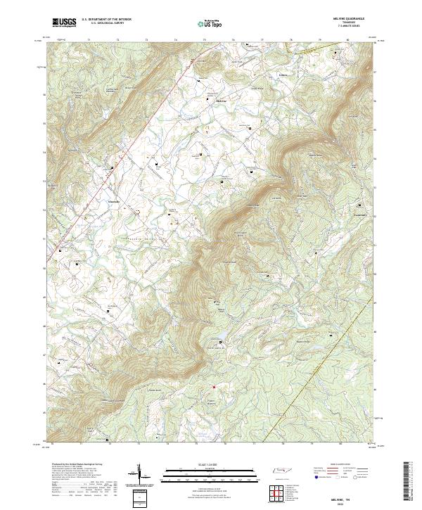
2022 Melvine
Bledsoe County, TN
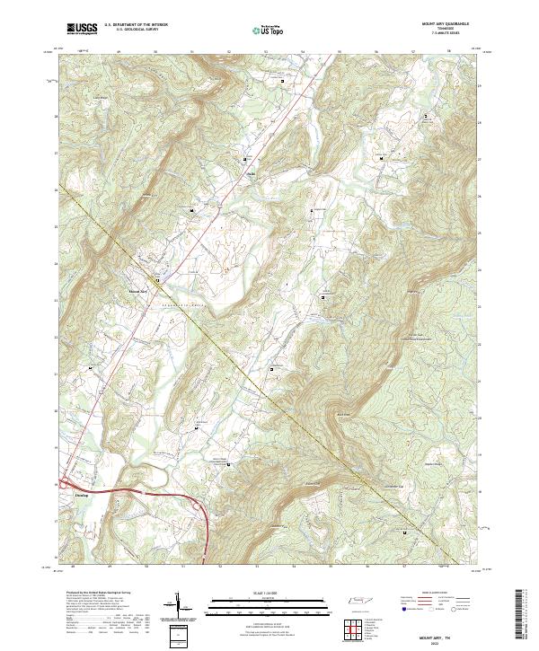
2022 Mount Airy
Bledsoe County, TN