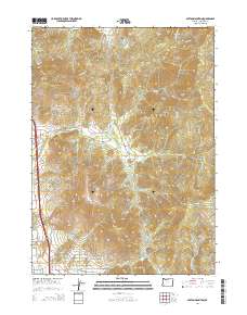
2014 Map of Sexton Mountain
USGS Topo · Published 2014About this map
Sexton Mountain and the surrounding Josephine County highlands are defined by a complex network of ridges and drainages recorded in 2014. The landscape is carved by numerous watercourses, most notably Jumpoff Joe Cr and its tributaries, including Schoolhouse Cr and Breakdown Cr. In the southern portion of the sheet, the residential character of Macks Cr is visible through a grid of local roads such as Marys Way and California Ave. The area’s geography is punctuated by several prominent peaks, including Red Mtn, Roberts Mtn, and Walker Mtn. This period shows a transition from the timber and Bureau of Land Management resource roads like BLM-34-5-29 in the north toward the developing settlement corridors along Old OR-99 and Knights Xing in the west.
Find a feature on this map
64 named features on this map. Tap any name to fly to it.
Don’t see what you’re looking for? This feature index may not catch every label — zoom into the map to look around manually.
Map Details
Editions of this 2014 Sexton Mountain Map
This is the sole edition of this map. No revisions or reprints were ever made.
Other maps of this area

1904 · Riddle
USGS Topo · 1:125,000

1908 · Grants Pass
USGS Topo · 1:125,000

1954 · Glendale
USGS Topo · 1:62,500

1954 · Gold Hill
USGS Topo · 1:62,500

1954 · Wimer
USGS Topo · 1:62,500

1954 · Grants Pass
USGS Topo · 1:62,500

1955 · Medford
USGS Topo · 1:250,000

1957 · Medford
USGS Topo · 1:250,000

1958 · Medford
USGS Topo · 1:250,000

1974 · Grants Pass NW
USGS Topo · 1:24,000