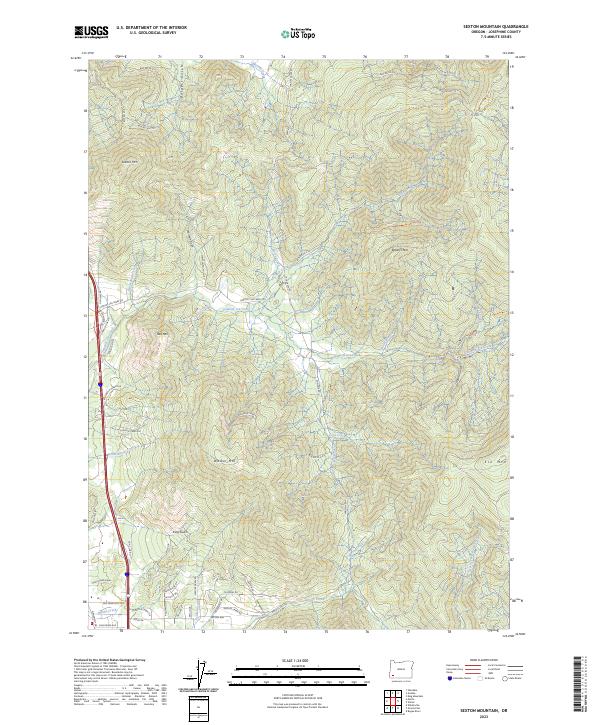
2023 Map of Sexton Mountain
USGS Topo · Published 2023About this map
Sexton Mtn and Walker Mtn dominate this Josephine County landscape, where complex drainage patterns define the local geography. The map illustrates a network of Bureau of Land Management roads, such as BLM RD 34-6-13 and BLM RD 34-5-9, which weave through the high ridges to access timber and interior valleys. Water flows through numerous named drainages including Jumpoff Joe Creek, Shanks Creek, and Louise Creek, indicating the region's hydrological importance. Near the southern boundary, the settlement of Macks Creek is situated among residential developments like San Francisco Ave and California Ave. The proximity of Schoolhouse Creek and Old Hwy 99 suggests earlier corridors of travel and community life that transitioned over time into the modern road network seen today.
Find a feature on this map
68 named features on this map. Tap any name to fly to it.
Don’t see what you’re looking for? This feature index may not catch every label — zoom into the map to look around manually.
Map Details
Editions of this 2023 Sexton Mountain Map
This is the sole edition of this map. No revisions or reprints were ever made.
Other maps of this area

1904 · Riddle
USGS Topo · 1:125,000

1908 · Grants Pass
USGS Topo · 1:125,000

1954 · Glendale
USGS Topo · 1:62,500

1954 · Gold Hill
USGS Topo · 1:62,500

1954 · Wimer
USGS Topo · 1:62,500

1954 · Grants Pass
USGS Topo · 1:62,500

1955 · Medford
USGS Topo · 1:250,000

1957 · Medford
USGS Topo · 1:250,000

1958 · Medford
USGS Topo · 1:250,000

1974 · Grants Pass NW
USGS Topo · 1:24,000