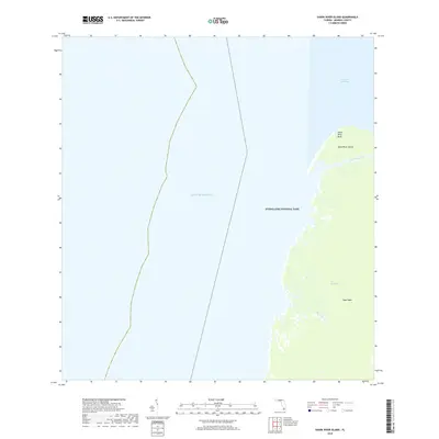
2018 Map of Shark River Island
USGS Topo · Published 2018About this map
Everglades National Park dominates this coastal survey, where the intricate mangrove and marsh systems of the Everglades meet the Gulf of Mexico. The landforms here are shaped by the tidal flow of the Little Shark River and Big Sable Cr, which carve through the low-lying terrain near Cape Sable. A prominent landmark, Shark River Island, sits at the mouth of the river system, protected by the rising ground of Shark River Bluff. This modern topography documents the delicate boundary between the brackish waters of Ponce de Leon Bay and the interior wetlands, providing a detailed look at a coastline that remains largely unchanged by modern development and infrastructure due to its protected status.
Find a feature on this map
9 named features on this map. Tap any name to fly to it.
Don’t see what you’re looking for? This feature index may not catch every label — zoom into the map to look around manually.
Map Details
Editions of this 2018 Shark River Island Map
This is the sole edition of this map. No revisions or reprints were ever made.
Other maps of this area

1956 · Miami
USGS Topo · 1:250,000

1958 · Miami
USGS Topo · 1:250,000

1972 · Whitewater Bay West
USGS Topo · 1:24,000

1972 · Harney River
USGS Topo · 1:24,000

1972 · Lake Ingraham East
USGS Topo · 1:24,000
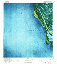
1972 · Lake Ingraham West
USGS Topo · 1:24,000

1972 · Shark River Island
USGS Topo · 1:24,000

1972 · Shark Point
USGS Topo · 1:24,000

1981 · Cape Sable
USGS Topo · 1:100,000

1988 · Miami
USGS Topo · 1:250,000