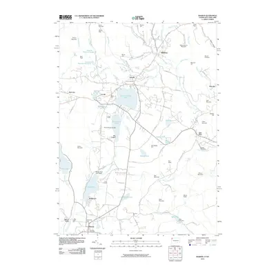
2010 Map of Sharon
USGS Topo · Published 2010About this map
Wononskopomuc Lake and the village of Lakeville anchor this study of the Connecticut-New York borderlands during the early 21st century. The landscape is defined by its glacial heritage, featuring deep water bodies like Mudge Pond and Wononpakook Lake set against the dramatic elevations of Mount Riga and Indian Mountain. Institutional landmarks such as Camp Sloane and the Memorial Clock Tower in Sharon provide clear orientation points for local history.
Find a feature on this map
105 named features on this map. Tap any name to fly to it.
Don’t see what you’re looking for? This feature index may not catch every label — zoom into the map to look around manually.
Map Details
Editions of this 2010 Sharon Map
This is the sole edition of this map. No revisions or reprints were ever made.
Other maps of this area

1885 · Sheffield
USGS Topo · 1:62,500

1888 · Sheffield
USGS Topo · 1:62,500

1891 · Sheffield
USGS Topo · 1:62,500

1892 · Cornwall
USGS Topo · 1:62,500

1893 · Sheffield
USGS Topo · 1:62,500

1893 · Cornwall
USGS Topo · 1:62,500

1897 · Sheffield
USGS Topo · 1:62,500

1899 · Housatonic
USGS Topo · 1:125,000

1899 · Millbrook
USGS Topo · 1:62,500

1900 · Housatonic
USGS Topo · 1:125,000