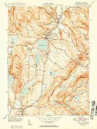
1950 Map of Sharon
USGS Topo · Published 1950About this map
The hills of Litchfield County define this 1950 snapshot of Northwest Connecticut, where the villages of Salisbury and Lakeville serve as central hubs for education and recreation. This era reveals a landscape deeply connected to its academic institutions, notably The Hotchkiss Sch, Indian Mtn Sch, and Salisbury Sch. The presence of Ore Hill suggests the region’s long-standing industrial ties to iron mining, while the concentration of estates and camps around Wononskopomuc Lake and Wononpakook Lake highlights its mid-century role as a seasonal retreat.
Find a feature on this map
70 named features on this map. Tap any name to fly to it.
Don’t see what you’re looking for? This feature index may not catch every label — zoom into the map to look around manually.
Map Details
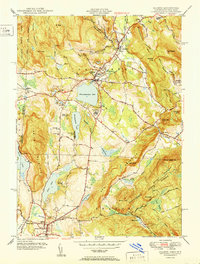
Editions of this 1950 Sharon Map
2 editions found
Other maps of this area

1885 · Sheffield
USGS Topo · 1:62,500

1888 · Sheffield
USGS Topo · 1:62,500

1891 · Sheffield
USGS Topo · 1:62,500

1892 · Cornwall
USGS Topo · 1:62,500

1893 · Sheffield
USGS Topo · 1:62,500

1893 · Cornwall
USGS Topo · 1:62,500

1897 · Sheffield
USGS Topo · 1:62,500

1899 · Housatonic
USGS Topo · 1:125,000

1899 · Millbrook
USGS Topo · 1:62,500

1900 · Housatonic
USGS Topo · 1:125,000