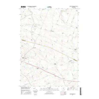
2016 Map of Sharon Springs
USGS Topo · Published 2016About this map
Sharon Springs and the surrounding borderlands of Montgomery and Schoharie Counties define this rural landscape. The area is characterized by scattered settlements and agricultural valleys, with significant water features such as Canajoharie Creek and Brimstone Cr carving through the terrain. The map reveals a dense network of country roads connecting hamlets like Ames, Mapletown, and Argusville. Local history and genealogy are anchored by numerous burial grounds, including the Olmstead Cem and Ball Cem, which sit alongside family-named landmarks like Wessel Hill. Transportation and land use are further marked by the Sharon Airport and several wetland basins such as Cedar Swamp and Bear Swamp, reflecting the high-elevation plateau character of this central New York region.
Find a feature on this map
91 named features on this map. Tap any name to fly to it.
Don’t see what you’re looking for? This feature index may not catch every label — zoom into the map to look around manually.
Map Details
Editions of this 2016 Sharon Springs Map
This is the sole edition of this map. No revisions or reprints were ever made.
Other maps of this area

1896 · Fonda
USGS Topo · 1:62,500

1898 · Fonda
USGS Topo · 1:62,500

1898 · Canajoharie
USGS Topo · 1:62,500

1898 · Schoharie
USGS Topo · 1:62,500

1900 · Canajoharie
USGS Topo · 1:62,500

1900 · Schoharie
USGS Topo · 1:62,500

1902 · Canajoharie
USGS Topo · 1:62,500

1902 · Fonda
USGS Topo · 1:62,500

1904 · Richmondville
USGS Topo · 1:62,500

1943 · Cobleskill
USGS Topo · 1:24,000