2022 Map of Sharon
USGS Topo · Published 2022About this map
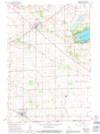
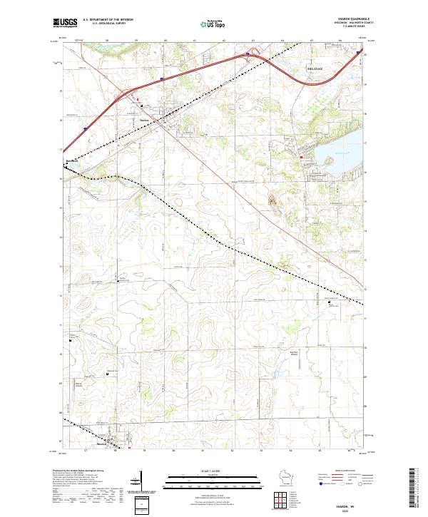
The village of Sharon sits at the southern edge of this Walworth County landscape, serving as a hub for the surrounding agricultural prairie. To the north, the village of Darien is positioned near the junction of major transit corridors, while the smaller settlement of Bardwell occupies the western reaches. This area is defined by its deep-rooted rural character, evidenced by numerous burial grounds including Oakwood Cem, South Grove Cem, and North Sharon Cem, which often represent the early family and community anchors of the township.
Find a feature on this map
76 named features on this map. Tap any name to fly to it.
Don’t see what you’re looking for? This feature index may not catch every label — zoom into the map to look around manually.
Map Details
Editions of this 2022 Sharon Map
This is the sole edition of this map. No revisions or reprints were ever made.