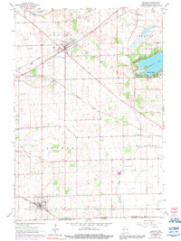
1960 Map of Sharon
USGS Topo · Published 1991About this map
Sharon and Darien anchor this southern Walworth County landscape as it appeared in the mid-20th century, defined by a dense grid of rural roads and the Chicago Milwaukee ST Paul And Pacific railroad cutting diagonally across the prairie. The map provides a detailed view of the shoreline community at Delavan Lake, showing the early development of recreational properties near the Golf Course and Trailer Park. This 1960 field survey captures a rich network of local institutions, from the Salt Box Sch and Red Sch to the numerous burial grounds such as North Sharon Cem and Brick Church Cem. The southern edge of the sheet tracks the State Line bordering Illinois, where Piscasaw Creek flows south from the rolling terrain near Big Foot Airfield.
Find a feature on this map
29 named features on this map. Tap any name to fly to it.
Don’t see what you’re looking for? This feature index may not catch every label — zoom into the map to look around manually.
Map Details
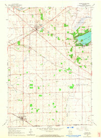
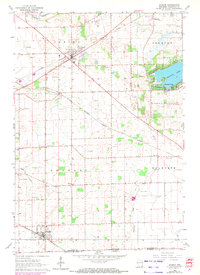
Editions of this 1960 Sharon Map
3 editions found
Other maps of this area

1893 · Delavan
USGS Topo · 1:62,500

1893 · Shopiere
USGS Topo · 1:62,500

1918 · Belvidere
USGS Topo · 1:62,500

1932 · Harvard
USGS Topo · 1:48,000

1937 · Harvard
USGS Topo · 1:62,500

1944 · Belvidere
USGS Topo · 1:62,500

1954 · Rockford
USGS Topo · 1:250,000

1955 · Rockford
USGS Topo · 1:250,000

1958 · Rockford
USGS Topo · 1:250,000
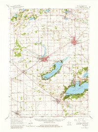
1960 · Delavan
USGS Topo · 1:62,500