Loading...
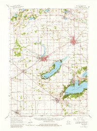
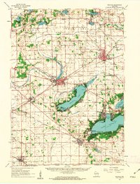
Loading map...1960 Map of Delavan
USGS Topo · Published 1962About this map
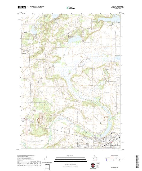
Lake Geneva and Delavan Lake anchor this 1960 landscape of Walworth County, revealing a region defined by its glacial waters and agricultural heritage. The southern shores are marked by significant institutional landmarks, most notably the Yerkes Observatory at Williams Bay and the Northwestern Military & Naval Academy near Fontana. These lakeside communities, including Delavan, show a sophisticated mid-century development pattern with an Lake Lawn Airstrip, Country Club, and even a Drive-in Theater near East Delavan.
Find a feature on this map
83 named features on this map. Tap any name to fly to it.
Don’t see what you’re looking for? This feature index may not catch every label — zoom into the map to look around manually.
Map Details
Date Portrayed1960
Date Published1962
PublisherU.S. Geological Survey
Map TypeTopographic
Scale1:62,500
Physical Dimensions16.33 x 21.93 inches
Editions of this 1960 Delavan Map
2 editions found
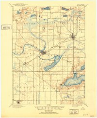
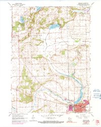
Historical Maps of Elkhorn Through Time
4 maps found
Featured Locations
Source Details
SourceU.S. Geological Survey
CopyrightPublic Domain