Loading...
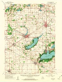
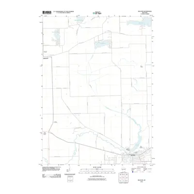
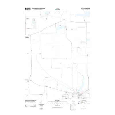
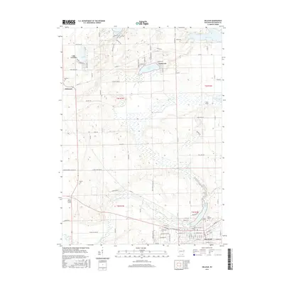
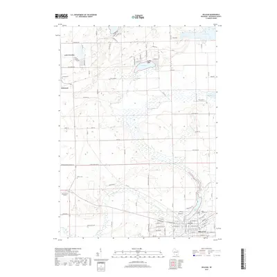
Loading map...1960 Map of Delavan
USGS Topo · Published 1980About this map
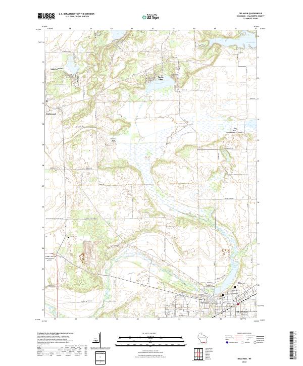
Elkhorn and Delavan anchor this 1960s Walworth County landscape, showing a region defined by its glacial lakes and the reach of the Chicago Milwaukee St Paul and Pacific railroad. The map documents the mid-century development of the resort areas around Geneva Lake, featuring Yerkes Observatory overlooking Williams Bay and the organized lakeside communities of Fontana and Lake Lawn.
Find a feature on this map
86 named features on this map. Tap any name to fly to it.
Don’t see what you’re looking for? This feature index may not catch every label — zoom into the map to look around manually.
Map Details
Date Portrayed1960
Date Published1980
PublisherU.S. Geological Survey
Map TypeTopographic
Scale1:62,500
Physical Dimensions16.08 x 21.17 inches
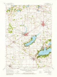
Editions of this 1960 Delavan Map
2 editions found
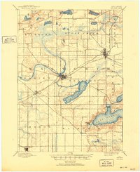
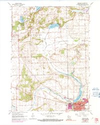
Historical Maps of Elkhorn Through Time
8 maps found
Featured Locations
Source Details
SourceU.S. Geological Survey
CopyrightPublic Domain