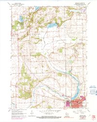
1960 Map of Delavan
USGS Topo · Published 1991About this map
Delavan serves as the primary urban center in this mid-century survey, its expansion tracked into the 1970s through purple revisions that detail new streets and a Trailer Park near the town center. The landscape is defined by the winding course of Turtle Creek and its relationship to Comus Lake, where infrastructure like the Sewage Disposal plant and Gaging Station indicate the managed nature of the local hydrology. Cultural and civic life in the city is anchored by the Post Office, City Hall, and recreational spaces such as Phoenix Park and Latimer Park.
Find a feature on this map
36 named features on this map. Tap any name to fly to it.
Don’t see what you’re looking for? This feature index may not catch every label — zoom into the map to look around manually.
Map Details
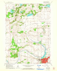
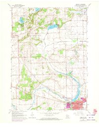
Editions of this 1960 Delavan Map
3 editions found
Other maps of this area

1891 · Koshkonong
USGS Topo · 1:62,500

1892 · Whitewater
USGS Topo · 1:62,500

1893 · Delavan
USGS Topo · 1:62,500

1893 · Whitewater
USGS Topo · 1:62,500

1893 · Shopiere
USGS Topo · 1:62,500

1894 · Koshkonong
USGS Topo · 1:62,500

1903 · Whitewater
USGS Topo · 1:62,500

1906 · Koshkonong
USGS Topo · 1:62,500

1924 · Whitewater
USGS Topo · 1:62,500

1954 · Rockford
USGS Topo · 1:250,000