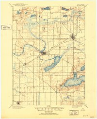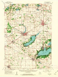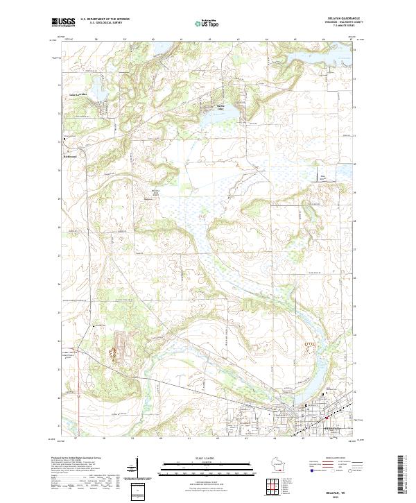
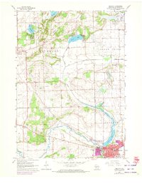
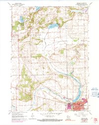
1960 Map of Delavan
USGS Topo · Published 1964About this map
Delavan anchors the southeastern corner of this 1960s study, where residential streets and city parks like Phoenix Park and Latimer Park border the expanding waters of Comus Lake. The surrounding Walworth County landscape transitions from the developed grid of the city into the glacial terrain of Darien and Richmond townships. This agricultural hinterland is defined by a network of rural schoolhouses and cemeteries, including the St Andrews Sch and the secluded Hollister Cem, situated near the meandering path of Turtle Creek. To the north, a cluster of kettle lakes such as Lake Lorraine and Turtle Lake illustrate the area's transition into a seasonal recreation landscape. The presence of a Gaging Station and Sewage Disposal plant near the city limits reflects mid-century infrastructure required to support the growing population centered around the High Sch and local industry.
Find a feature on this map
39 named features on this map. Tap any name to fly to it.
Don’t see what you’re looking for? This feature index may not catch every label — zoom into the map to look around manually.
Map Details
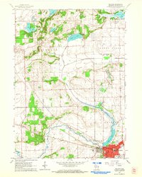
Editions of this 1960 Delavan Map
3 editions found
Historical Maps of Delavan Through Time
8 maps found