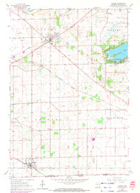
1960 Map of Sharon
USGS Topo · Published 1972About this map
Darien and the village of Sharon anchor this 1960s agricultural survey of Walworth County, showing a landscape defined by the heavy presence of the Chicago Milwaukee St Paul and Pacific railroad. The rural character of the era is remarkably preserved through its network of small country schools, including the Salt Box Sch, Elton Sch, and Red Sch, which served the farming families long before the consolidation of rural districts. The map also records numerous local burial grounds such as Brick Church Cem and Oakwood Cem, providing critical reference points for genealogical research.
Find a feature on this map
29 named features on this map. Tap any name to fly to it.
Don’t see what you’re looking for? This feature index may not catch every label — zoom into the map to look around manually.
Map Details
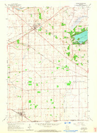
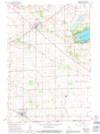
Editions of this 1960 Sharon Map
3 editions found
Other maps of this area

1893 · Delavan
USGS Topo · 1:62,500

1893 · Shopiere
USGS Topo · 1:62,500

1918 · Belvidere
USGS Topo · 1:62,500

1932 · Harvard
USGS Topo · 1:48,000

1937 · Harvard
USGS Topo · 1:62,500

1944 · Belvidere
USGS Topo · 1:62,500

1954 · Rockford
USGS Topo · 1:250,000

1955 · Rockford
USGS Topo · 1:250,000

1958 · Rockford
USGS Topo · 1:250,000
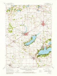
1960 · Delavan
USGS Topo · 1:62,500