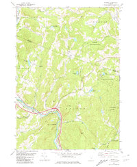
1981 Map of Sharon
USGS Topo · Published 1981About this map
The White River corridor serves as the primary artery for transport and settlement in this corner of Vermont, carrying both the Central Vermont railroad and the modern Interchange 2. The village of Sharon sits at a critical bend in the river, where the landscape transitions from the flat floodplains to the steep, wooded slopes of Baxter Mtn and Billings Hill. This 1981 record captures a rural landscape defined by its upland forests and small-scale agriculture, evidenced by naming conventions like Town Farm Road and Potash Road.
Find a feature on this map
55 named features on this map. Tap any name to fly to it.
Don’t see what you’re looking for? This feature index may not catch every label — zoom into the map to look around manually.
Map Details
Editions of this 1981 Sharon Map
2 editions found
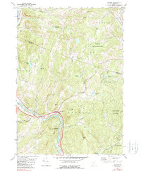
Other maps of this area

1896 · Strafford
USGS Topo · 1:62,500

1906 · Hanover
USGS Topo · 1:62,500

1908 · Hanover
USGS Topo · 1:62,500

1911 · Woodstock
USGS Topo · 1:62,500

1913 · Woodstock
USGS Topo · 1:62,500

1919 · Royalton
USGS Topo · 1:62,500

1924 · Randolph
USGS Topo · 1:48,000

1926 · Randolph
USGS Topo · 1:62,500

1943 · Woodstock
USGS Topo · 1:62,500

1944 · Strafford
USGS Topo · 1:62,500