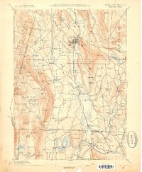
1885 Map of Sheffield
USGS Topo · Published 1885About this map
The Housatonic River valley serves as the central corridor for commerce and travel in this late 19th-century survey of the Tri-State border region. Major rail lines, including the New York New Haven & Hartford (Berkshire Div) and the Philadelphia Reading & New England, connect established industrial and agricultural hubs like Great Barrington and Sheffield. The landscape is dotted with smaller settlements and uniquely named localities such as Gomorrah and Sodom near the Connecticut border, while high points like Monument Mountain and Bear Mountain define the topography.
Find a feature on this map
148 named features on this map. Tap any name to fly to it.
Don’t see what you’re looking for? This feature index may not catch every label — zoom into the map to look around manually.
Map Details
Editions of this 1885 Sheffield Map
This is the sole edition of this map. No revisions or reprints were ever made.
Other maps of this area
1886 · Becket
USGS Topo · 1:62,500
1888 · Sheffield
USGS Topo · 1:62,500
1888 · Becket
USGS Topo · 1:62,500
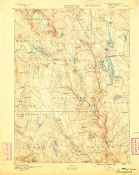
1888 · Sandisfield
USGS Topo · 1:62,500
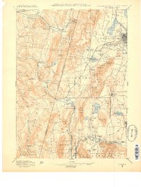
1888 · Pittsfield
USGS Topo · 1:62,500
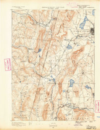
1890 · Pittsfield
USGS Topo · 1:62,500
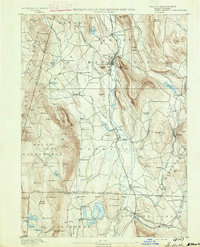
1891 · Sheffield
USGS Topo · 1:62,500
1892 · Winsted
USGS Topo · 1:62,500
1892 · Cornwall
USGS Topo · 1:62,500
1893 · Becket
USGS Topo · 1:62,500