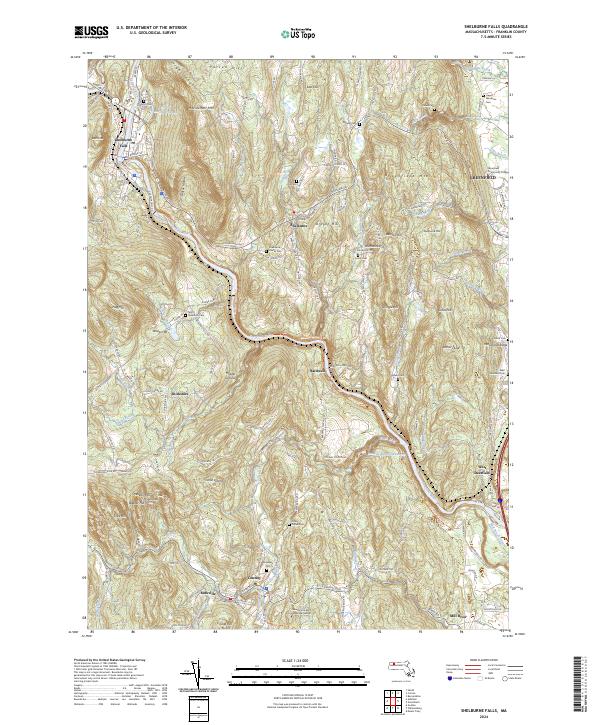
2024 Map of Shelburne Falls
USGS Topo · Published 2024About this map
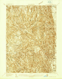
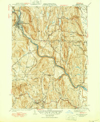
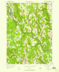
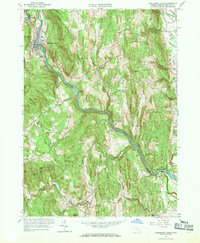
Shelburne Falls and the Deerfield River dominate this modern topographical record of Franklin County, where the river carves a deep valley through the high hills of western Massachusetts. The settlement pattern follows the ancient Mohawk Trl and the watercourse, connecting villages like Conway, Shelburne, and West Deerfield. This contemporary survey reveals a landscape where educational institutions like Greenfield Community College and the Conway School of Landscape Design coexist with deeply rooted local histories preserved in numerous family and community burial grounds, such as Hill Cem, Skinner Cem, and Pine Grove Cem. The topographic detail highlights the significant elevation changes from the Middle Ground along the river to peaks like Massaemett Mtn and Arthur's Seat, illustrating how the valley's steep geography has historically constrained and shaped development and transport, including the Conway Station Rd corridor near the Conway Electric Reservoir.
Find a feature on this map
141 named features on this map. Tap any name to fly to it.
Don’t see what you’re looking for? This feature index may not catch every label — zoom into the map to look around manually.
Map Details
Editions of this 2024 Shelburne Falls Map
This is the sole edition of this map. No revisions or reprints were ever made.
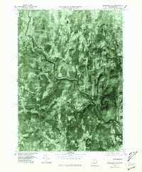
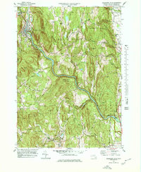
Historical Maps of Mill River Through Time
7 maps found