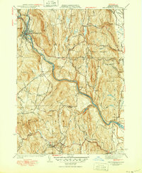
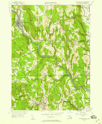
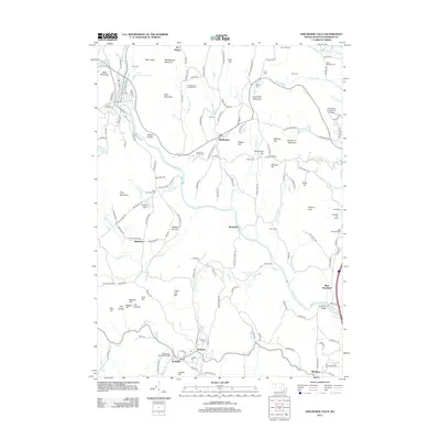
1941 Map of Shelburne Falls
USGS Topo · Published 1950About this map
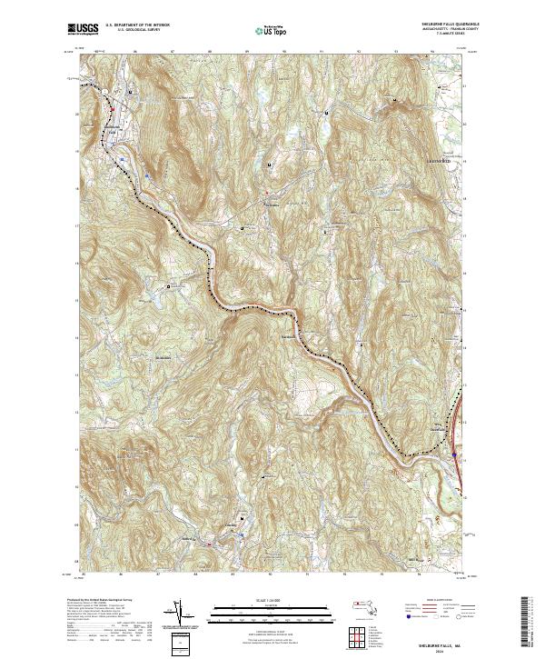
The Deerfield River snakes through the heart of Franklin County, defining the industrial and transportation corridor of this mid-century landscape. The village of Shelburne Falls serves as a primary hub, where the river's bend and the convergence of the Boston and Maine Railroad and the Hoosac Tunnel and Wilmington Railroad underscore the region's historical reliance on rail and water power. Further south, the settlement of Conway sits along the South River, flanked by the smaller milling community of Burkville.
Find a feature on this map
79 named features on this map. Tap any name to fly to it.
Don’t see what you’re looking for? This feature index may not catch every label — zoom into the map to look around manually.
Map Details
Editions of this 1941 Shelburne Falls Map
3 editions found
Historical Maps of Greenfield Through Time
11 maps found
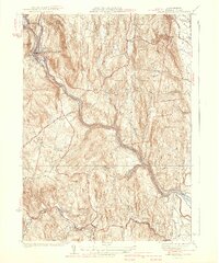
1937 Shelburne Falls
Franklin County, MA
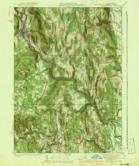
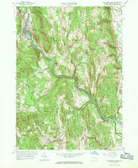
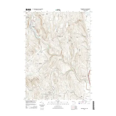
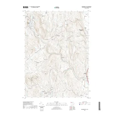
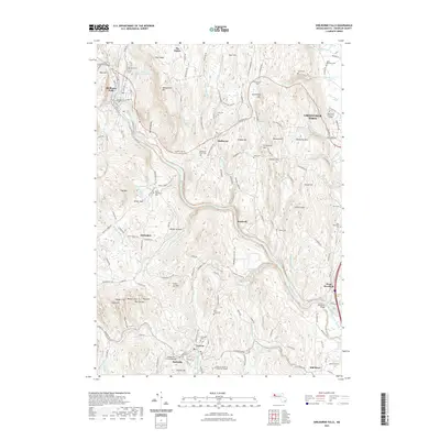
1941 Shelburne Falls
Franklin County, MA
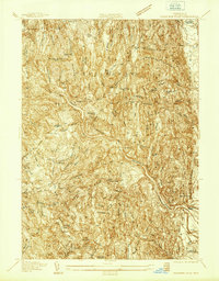
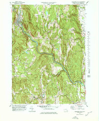
1949 Shelburne Falls
Franklin County, MA
1961 Shelburne Falls
Franklin County, MA
1975 Shelburne Falls
Franklin County, MA
1978 Shelburne Falls
Franklin County, MA
2012 Shelburne Falls
Franklin County, MA
2015 Shelburne Falls
Franklin County, MA
2018 Shelburne Falls
Franklin County, MA
2021 Shelburne Falls
Franklin County, MA
2024 Shelburne Falls
Franklin County, MA