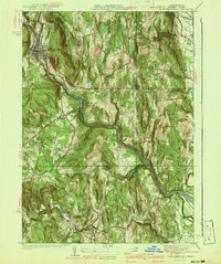
1941 Map of Shelburne Falls
USGS Topo · Published 1941About this map
Shelburne Falls serves as a primary hub where the Deerfield River bends sharply through the western Franklin County hills. This 1937 survey shows a landscape defined by its river-and-rail industry, with the Boston and Maine Railroad and the famed Mohawk Trail following the water's natural course. The terrain is marked by distinctive peaks like Greenfield Mountain and Massachusetts Mountain, while smaller communities like Burkville and Hardwell are connected by a network of rural roads such as Leyden Road.
Find a feature on this map
65 named features on this map. Tap any name to fly to it.
Don’t see what you’re looking for? This feature index may not catch every label — zoom into the map to look around manually.
Map Details
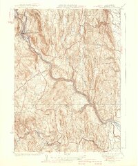
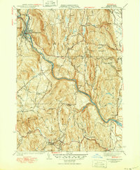
Editions of this 1941 Shelburne Falls Map
3 editions found
Other maps of this area

1885 · Northampton
USGS Topo · 1:62,500

1886 · Hawley
USGS Topo · 1:62,500

1886 · Chesterfield
USGS Topo · 1:62,500

1886 · Northampton
USGS Topo · 1:62,500

1888 · Chesterfield
USGS Topo · 1:62,500

1890 · Hawley
USGS Topo · 1:62,500

1890 · Greenfield
USGS Topo · 1:62,500

1891 · Northampton
USGS Topo · 1:62,500

1893 · Northampton
USGS Topo · 1:62,500

1893 · Chesterfield
USGS Topo · 1:62,500