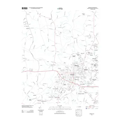
2013 Map of Shelby
USGS Topo · Published 2013About this map
Shelby Waterworks and the winding First Broad River anchor this 2013 survey of Cleveland County, which details the residential expansion surrounding the city center. The map reveals a high concentration of established neighborhoods and public housing developments, including Gidney Homes, Olsen Homes, and the Village Square Townhouses. These residential clusters are interspersed with recreational spaces like the Royster Memorial Golf Course and the River Bend Golf Course near the Shelby-Cleveland County Regional Airport.
Find a feature on this map
342 named features on this map. Tap any name to fly to it.
Don’t see what you’re looking for? This feature index may not catch every label — zoom into the map to look around manually.
Map Details
Editions of this 2013 Shelby Map
This is the sole edition of this map. No revisions or reprints were ever made.
Other maps of this area

1906 · Kings Mountain
USGS Topo · 1:62,500

1908 · Kings Mountain
USGS Topo · 1:62,500

1909 · Gaffney
USGS Topo · 1:62,500

1909 · Lincolnton
USGS Topo · 1:62,500

1911 · Lincolnton
USGS Topo · 1:62,500

1950 · Shelby
USGS Topo · 1:62,500

1953 · Charlotte
USGS Topo · 1:250,000

1954 · Charlotte
USGS Topo · 1:250,000

1960 · Charlotte
USGS Topo · 1:250,000

1962 · Charlotte
USGS Topo · 1:250,000