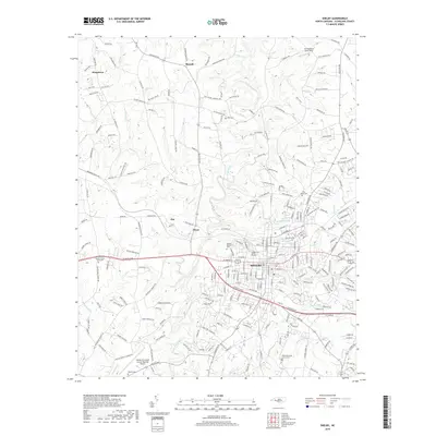
2019 Map of Shelby
USGS Topo · Published 2019About this map
The city of Shelby serves as the focal point of this Cleveland County landscape, where the First Broad River meanders south toward the regional airport. This 2019 survey captures the modern intersection of urban development and rural geography, notably featuring the Shelby-Cleveland County Regional Airport and several historic burial grounds including Beaver Dam Baptist Church Graveyard and Ross Grove Cem. Small communities like Kingstown, Metcalf, Ora, and Dover surround the city, connected by a network of established roads such as W Dixon Blvd and Polkville Rd. Local recreation and private aviation are represented by Royster Memorial Park and the uniquely named Dirt Dobber's Grass Strip. Tributaries like Brushy Cr, Hickory Cr, and Little Cr weave through the terrain, illustrating the hydrological patterns that have influenced settlement from North Club Lake down to Beams Lake.
Find a feature on this map
232 named features on this map. Tap any name to fly to it.
Don’t see what you’re looking for? This feature index may not catch every label — zoom into the map to look around manually.
Map Details
Editions of this 2019 Shelby Map
This is the sole edition of this map. No revisions or reprints were ever made.
Other maps of this area

1906 · Kings Mountain
USGS Topo · 1:62,500

1908 · Kings Mountain
USGS Topo · 1:62,500

1909 · Gaffney
USGS Topo · 1:62,500

1909 · Lincolnton
USGS Topo · 1:62,500

1911 · Lincolnton
USGS Topo · 1:62,500

1950 · Shelby
USGS Topo · 1:62,500

1953 · Charlotte
USGS Topo · 1:250,000

1954 · Charlotte
USGS Topo · 1:250,000

1960 · Charlotte
USGS Topo · 1:250,000

1962 · Charlotte
USGS Topo · 1:250,000