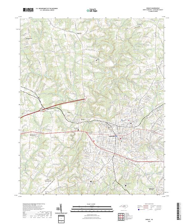
2022 Map of Shelby
USGS Topo · Published 2022About this map
The city of Shelby serves as the central hub of this contemporary survey, anchored by the Cleveland County Courthouse and surrounded by a landscape of established residential streets and rural outskirts. The terrain is defined by the winding course of the First Broad River and its various tributaries, including Brushy Cr and Hickory Cr. Genealogists will find a wealth of burial grounds throughout the area, ranging from the large Sunset Cem near the city center to smaller community sites like the Beaver Dam Baptist Church Graveyard and Zoar Baptist Church Graveyard. Aviation history is represented by the Shelby-Cleveland County Regional Airport in the southwest and the uniquely named Dirt Dobber's Grass Strip to the north. Smaller settlements like Kingstown, Dover, and Patterson Springs are connected by a dense network of local roads that reflect the area's growth beyond the original urban core.
Find a feature on this map
243 named features on this map. Tap any name to fly to it.
Don’t see what you’re looking for? This feature index may not catch every label — zoom into the map to look around manually.
Map Details
Editions of this 2022 Shelby Map
This is the sole edition of this map. No revisions or reprints were ever made.
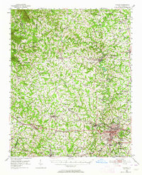
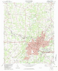
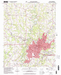
Historical Maps of Zion Through Time
4 maps found