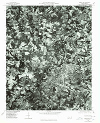
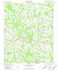
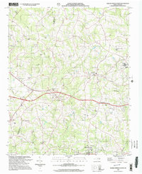
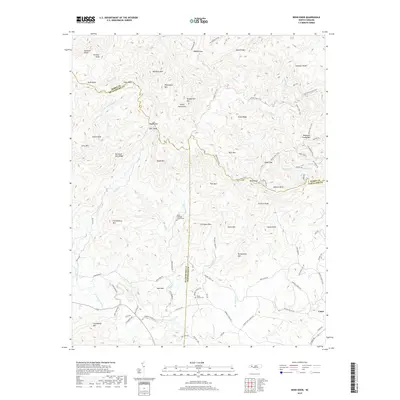
1976 Map of Shelby SE
USGS Topo · Published 1978About this map
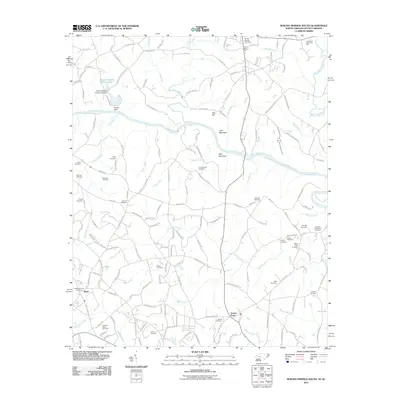
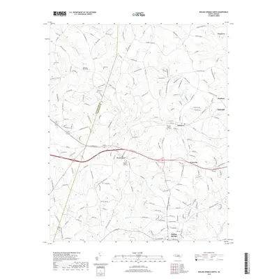
Industrial and urban expansion in Cleveland County is captured in this 1976 orthophotoquad, centered on the western edges of Shelby. This photographic survey reveals the mid-1970s footprint of the textile industry, featuring the Ora Mill and Dover Mill complex. These industrial sites sit at the periphery of the town's dense residential grid, illustrating the proximity of manufacturing to the local workforce. The natural landscape is dominated by the winding course of the Broad River and its tributary, First, which cut through a patchwork of agricultural clearings and dense woodland. This perspective offers researchers a clear view of the transition from the concentrated urban core of Shelby to the surrounding rural Piedmont terrain as it existed before late-century suburban development.
Find a feature on this map
5 named features on this map. Tap any name to fly to it.
Don’t see what you’re looking for? This feature index may not catch every label — zoom into the map to look around manually.
Map Details
Editions of this 1976 Shelby SE Map
This is the sole edition of this map. No revisions or reprints were ever made.
Historical Maps of Shelby Through Time
21 maps found
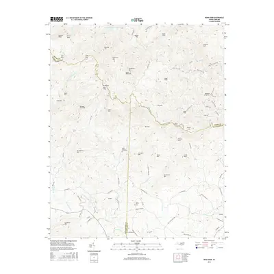
1956 Benn Knob
Cleveland County, NC
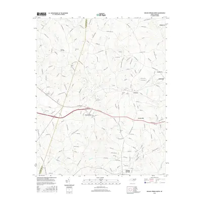
1971 Boiling Springs South
Cleveland County, NC
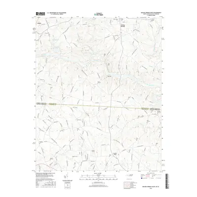
1976 Boiling Springs South
Cleveland County, NC
1976 Shelby SE
Cleveland County, NC
1982 Boiling Springs North
Cleveland County, NC
2002 Boiling Springs North
Cleveland County, NC
2010 Benn Knob
Cleveland County, NC
2010 Boiling Springs North
Cleveland County, NC
2011 Boiling Springs South
Cleveland County, NC
2013 Benn Knob
Cleveland County, NC
2013 Boiling Springs North
Cleveland County, NC
2013 Boiling Springs South
Cleveland County, NC
2016 Benn Knob
Cleveland County, NC
2016 Boiling Springs North
Cleveland County, NC
2016 Boiling Springs South
Cleveland County, NC
2019 Benn Knob
Cleveland County, NC
2019 Boiling Springs North
Cleveland County, NC
2019 Boiling Springs South
Cleveland County, NC
2022 Benn Knob
Cleveland County, NC
2022 Boiling Springs North
Cleveland County, NC
2022 Boiling Springs South
Cleveland County, NC