
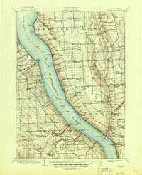
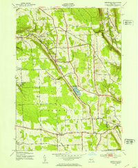
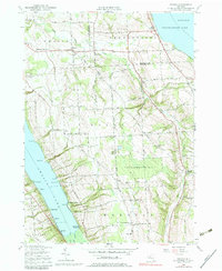
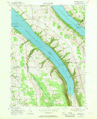
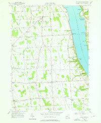
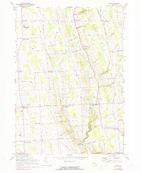
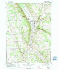
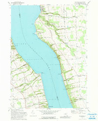
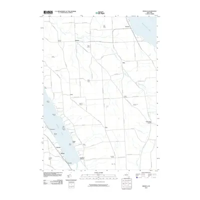
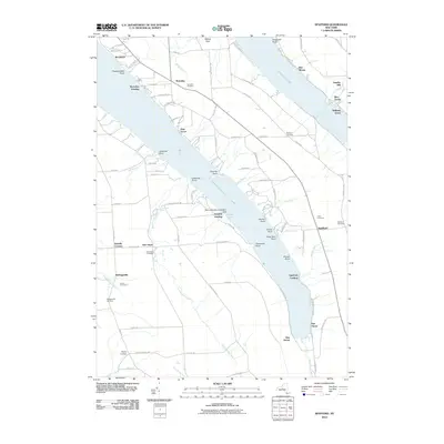
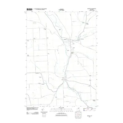
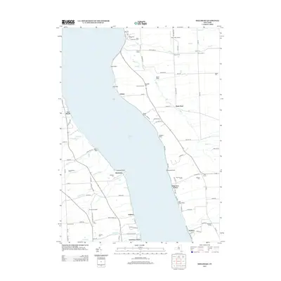
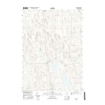
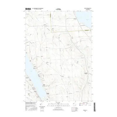
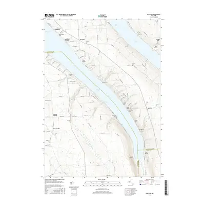
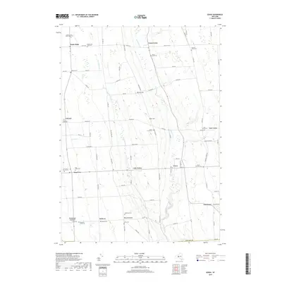
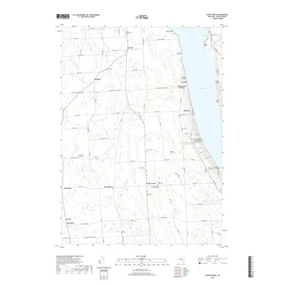
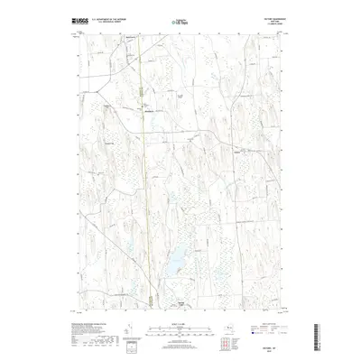
1942 Map of Sheldrake
USGS Topo · Published 1960About this map
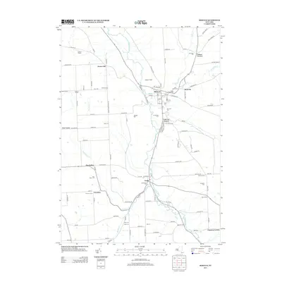
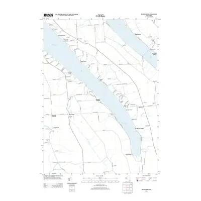
Cayuga Lake dominates this mid-century survey, dividing the landscape between Seneca and Cayuga counties. On the eastern shore, the campus of Wells College sits at Aurora, while the surrounding plateau is defined by a network of crossroads settlements like Prospect Corners, Chapel Corners, and Jump Corners. The topography is marked by deep lake-front incisions such as Beard Gully and Paine Creek, the latter featuring Moonshine Falls.
Find a feature on this map
46 named features on this map. Tap any name to fly to it.
Don’t see what you’re looking for? This feature index may not catch every label — zoom into the map to look around manually.
Map Details
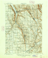
Editions of this 1942 Sheldrake Map
This is the sole edition of this map. No revisions or reprints were ever made.
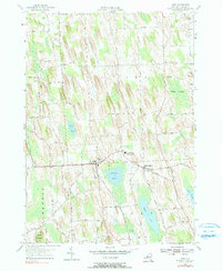
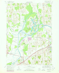
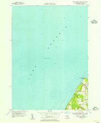
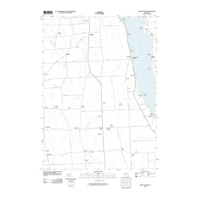
Historical Maps of Romulus Through Time
82 maps found

1898 Moravia
Cayuga County, NY
1902 Genoa
Cayuga County, NY
1902 Moravia
Cayuga County, NY

1942 Genoa
Cayuga County, NY
1942 Sheldrake
Cayuga County, NY

1943 Cato
Cayuga County, NY

1943 Genoa
Cayuga County, NY

1943 Montezuma
Cayuga County, NY
1943 Moravia
Cayuga County, NY
1943 Owasco
Cayuga County, NY

1943 Scipio
Cayuga County, NY
1943 Sempronius
Cayuga County, NY

1943 Sheldrake
Cayuga County, NY

1943 Spafford
Cayuga County, NY

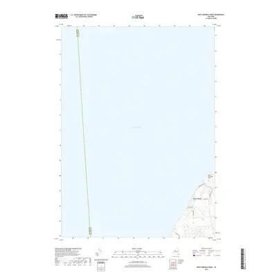
1943 West Ninemile Point
Cayuga County, NY

1949 Moravia
Cayuga County, NY
1954 Cato
Cayuga County, NY
1954 Montezuma
Cayuga County, NY

1954 Victory
Cayuga County, NY
1954 West Ninemile Point
Cayuga County, NY
1955 Owasco
Cayuga County, NY
1955 Spafford
Cayuga County, NY
1956 Scipio Center
Cayuga County, NY
1970 Genoa
Cayuga County, NY
1971 Moravia
Cayuga County, NY

1971 Sempronius
Cayuga County, NY
1971 Sheldrake
Cayuga County, NY
2010 Genoa
Cayuga County, NY
2010 Montezuma
Cayuga County, NY
2010 Owasco
Cayuga County, NY
2010 Scipio Center
Cayuga County, NY
2010 Sempronius
Cayuga County, NY
2010 Sheldrake
Cayuga County, NY
2010 Spafford
Cayuga County, NY
2010 Victory
Cayuga County, NY
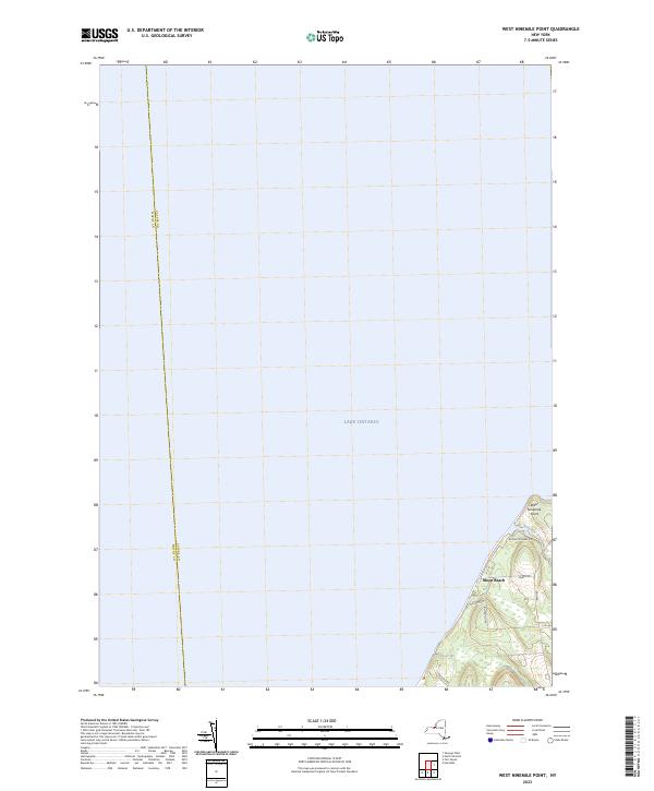
2010 West Ninemile Point
Cayuga County, NY
2011 Cato
Cayuga County, NY
2011 Moravia
Cayuga County, NY
2013 Cato
Cayuga County, NY
2013 Genoa
Cayuga County, NY
2013 Montezuma
Cayuga County, NY
2013 Moravia
Cayuga County, NY
2013 Owasco
Cayuga County, NY
2013 Scipio Center
Cayuga County, NY
2013 Sempronius
Cayuga County, NY
2013 Sheldrake
Cayuga County, NY
2013 Spafford
Cayuga County, NY
2013 Victory
Cayuga County, NY
2013 West Ninemile Point
Cayuga County, NY
2016 Cato
Cayuga County, NY
2016 Genoa
Cayuga County, NY
2016 Montezuma
Cayuga County, NY
2016 Moravia
Cayuga County, NY
2016 Owasco
Cayuga County, NY
2016 Scipio Center
Cayuga County, NY
2016 Sempronius
Cayuga County, NY
2016 Sheldrake
Cayuga County, NY
2016 Spafford
Cayuga County, NY
2016 Victory
Cayuga County, NY
2016 West Ninemile Point
Cayuga County, NY
2019 Cato
Cayuga County, NY
2019 Genoa
Cayuga County, NY
2019 Montezuma
Cayuga County, NY
2019 Moravia
Cayuga County, NY
2019 Owasco
Cayuga County, NY
2019 Scipio Center
Cayuga County, NY
2019 Sempronius
Cayuga County, NY
2019 Sheldrake
Cayuga County, NY
2019 Spafford
Cayuga County, NY
2019 Victory
Cayuga County, NY
2019 West Ninemile Point
Cayuga County, NY

2023 Cato
Cayuga County, NY

2023 Genoa
Cayuga County, NY

2023 Montezuma
Cayuga County, NY

2023 Moravia
Cayuga County, NY

2023 Owasco
Cayuga County, NY

2023 Scipio Center
Cayuga County, NY

2023 Sempronius
Cayuga County, NY

2023 Sheldrake
Cayuga County, NY

2023 Spafford
Cayuga County, NY

2023 Victory
Cayuga County, NY
2023 West Ninemile Point
Cayuga County, NY